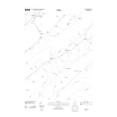
2013 Map of Blain
USGS Topo · Published 2013About this map
Blain and New Germantown anchor the rural landscape of this 2013 survey, which traces the complex ridge-and-valley topography of central Pennsylvania. The terrain is defined by dramatic parallel features such as Conococheague Mountain and Beavertown Ridge, with the winding course of Shermans Cr and Shultz Cr carving paths through the lowlands. Higher elevations are marked by landmarks like the Blue Knob Lookout Tower and named peaks including Big Knob and Little Knob.
Find a feature on this map
68 named features on this map. Tap any name to fly to it.
Don’t see what you’re looking for? This feature index may not catch every label — zoom into the map to look around manually.
Map Details
Editions of this 2013 Blain Map
This is the sole edition of this map. No revisions or reprints were ever made.
Other maps of this area

1919 · Newville
USGS Topo · 1:62,500

1919 · Mattawana
USGS Topo · 1:62,500

1923 · Shippensburg
USGS Topo · 1:62,500

1930 · Loysville
USGS Topo · 1:62,500

1933 · Loysville
USGS Topo · 1:62,500

1936 · East Waterford
USGS Topo · 1:48,000

1941 · East Waterford
USGS Topo · 1:62,500

1943 · Shippensburg
USGS Topo · 1:62,500

1945 · Newville
USGS Topo · 1:62,500

1945 · Shippensburg
USGS Topo · 1:62,500
Featured Places
- Blain, PA
- Jackson Township, PA
- Southwest Madison Township, PA
- Mount Pleasant, Jackson Township
- Lack Township, PA