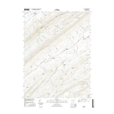
2016 Map of Blain
USGS Topo · Published 2016About this map
Tuscarora Mountain and Conococheague Mtn dominate this 2016 study of the rural landscape where Juniata and Perry counties meet. The settlement of Blain serves as a local hub on the eastern edge of the map, featuring the Blain Cem nearby, while smaller hamlets like New Germantown and Center Square are connected by a network of winding valley roads. The terrain is defined by a rhythmic series of parallel ridges including Eby Ridge, Trostle Ridge, and Skinner Ridge, which channel water into Shermans Cr and its many tributaries. This map documents a region where agriculture and forested slopes remain the primary features, with landmarks like Big Knob and Bear Pond providing fixed points for local navigation. The placement of the Eby Cem along the creek suggests the long-standing residential patterns of these narrow valley corridors.
Find a feature on this map
100 named features on this map. Tap any name to fly to it.
Don’t see what you’re looking for? This feature index may not catch every label — zoom into the map to look around manually.
Map Details
Editions of this 2016 Blain Map
This is the sole edition of this map. No revisions or reprints were ever made.
Other maps of this area

1919 · Newville
USGS Topo · 1:62,500

1919 · Mattawana
USGS Topo · 1:62,500

1923 · Shippensburg
USGS Topo · 1:62,500

1930 · Loysville
USGS Topo · 1:62,500

1933 · Loysville
USGS Topo · 1:62,500

1936 · East Waterford
USGS Topo · 1:48,000

1941 · East Waterford
USGS Topo · 1:62,500

1943 · Shippensburg
USGS Topo · 1:62,500

1945 · Newville
USGS Topo · 1:62,500

1945 · Shippensburg
USGS Topo · 1:62,500
Featured Places
- Blain, PA
- Jackson Township, PA
- Southwest Madison Township, PA
- Mount Pleasant, Jackson Township
- Lack Township, PA