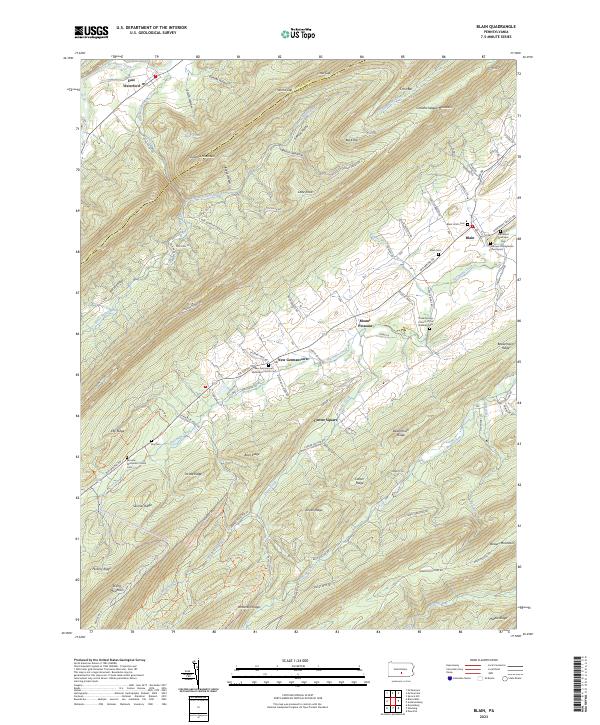
2023 Map of Blain
USGS Topo · Published 2023About this map
Shermans Creek winds through a landscape of prominent ridges and valley settlements in this western Perry County locale. The village of Blain serves as a focal point, where the Toboyne Presbyterian Churchyard and Methodist Episcopal Cem mark long-standing community foundations. Moving west, the topography is defined by the parallel rises of Tuscarora Mountain and Conococheague Mountain, creating the distinct Kansas Valley and Horse Valley corridors. Small agricultural hubs like New Germantown and Mount Pleasant are situated along the valley floor, connected by historic routes like New Germantown Rd. The mapping of numerous rural burial sites, including Eby Cem and the Fairview Methodist Church Cem, provides a detailed geographic record for genealogists and local historians tracking family lineage in the Pennsylvania backcountry.
Find a feature on this map
108 named features on this map. Tap any name to fly to it.
Don’t see what you’re looking for? This feature index may not catch every label — zoom into the map to look around manually.
Map Details
Editions of this 2023 Blain Map
This is the sole edition of this map. No revisions or reprints were ever made.
Other maps of this area

1919 · Newville
USGS Topo · 1:62,500

1919 · Mattawana
USGS Topo · 1:62,500

1923 · Shippensburg
USGS Topo · 1:62,500

1930 · Loysville
USGS Topo · 1:62,500

1933 · Loysville
USGS Topo · 1:62,500

1936 · East Waterford
USGS Topo · 1:48,000

1941 · East Waterford
USGS Topo · 1:62,500

1943 · Shippensburg
USGS Topo · 1:62,500

1945 · Newville
USGS Topo · 1:62,500

1945 · Shippensburg
USGS Topo · 1:62,500