
1952 Map of Blaine
USGS Topo · Published 1957About this map
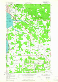
The international boundary between Canada and the United States defines the northern edge of this coastal landscape, where the city of Blaine serves as a primary port of entry near Drayton Harbor. The mid-century infrastructure is characterized by the Great Northern railroad corridor and a network of arterial roads like the Blaine-Ferndale Road that connect rural dairying and farming communities. In the southern portion of the quadrangle, the State Game Refuge surrounds Lake Terrell, while the drainages of Dakota Creek, California Creek, and Terrell Creek dictate the local topography. Local social centers are well-represented by the Haynie Community Hall and several grange halls, including the Birch Bay Circle Grange, reflecting the era's active agricultural and community life. Genealogists will find several burial sites preserved here, from the large Blaine Cem to the rural Enterprise Cem and Hillsdale Cem.
Find a feature on this map
64 named features on this map. Tap any name to fly to it.
Don’t see what you’re looking for? This feature index may not catch every label — zoom into the map to look around manually.
Map Details
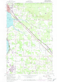
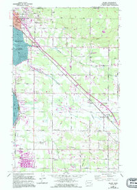
Editions of this 1952 Blaine Map
4 editions found
Other maps of this area

1907 · Blaine
USGS Topo · 1:62,500

1952 · Bertrand Creek
USGS Topo · 1:24,000

1952 · Birch Point
USGS Topo · 1:24,000

1952 · Ferndale
USGS Topo · 1:24,000

1952 · Lummi Bay
USGS Topo · 1:24,000

1952 · Blaine
USGS Topo · 1:62,500

1957 · Victoria
USGS Topo · 1:250,000

1975 · Bellingham
USGS Topo · 1:100,000
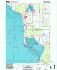
1997 · Lummi Bay
USGS Topo · 1:24,000
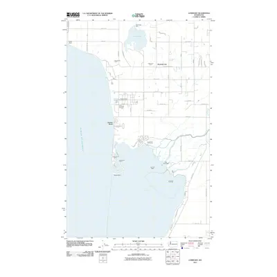
2011 · Lummi Bay
USGS Topo · 1:24,000