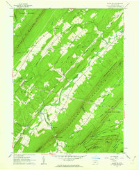
1960 Map of Blairs Mills
USGS Topo · Published 1963About this map
Tuscarora Mountain and Shade Mountain define the ridge-and-valley topography of this central Pennsylvania landscape, where the Tuscarora Creek carves a fertile passage between the high timberlands of the Tuscarora State Forest. This 1960 field-checked survey captures several historic crossroads settlements like Blairs Mills, Waterloo, and Peru Mills linked by a network of rural roads and the distinctive pipelines that cut straight paths across the steep terrain of Black Grey Ridge.
Find a feature on this map
47 named features on this map. Tap any name to fly to it.
Don’t see what you’re looking for? This feature index may not catch every label — zoom into the map to look around manually.
Map Details
Editions of this 1960 Blairs Mills Map
2 editions found
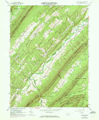
Other maps of this area

1919 · Mattawana
USGS Topo · 1:62,500

1922 · Mt Union
USGS Topo · 1:48,000

1923 · Shippensburg
USGS Topo · 1:62,500

1924 · Mt. Union
USGS Topo · 1:62,500

1936 · East Waterford
USGS Topo · 1:48,000

1939 · Orbisonia
USGS Topo · 1:62,500

1940 · Orbisonia
USGS Topo · 1:62,500

1941 · East Waterford
USGS Topo · 1:62,500

1943 · Shippensburg
USGS Topo · 1:62,500

1944 · Orbisonia
USGS Topo · 1:62,500
Featured Places
- Blairs Mills, Tell Township
- Lack Township, PA
- Tell Township, PA
- Perulack, Lack Township
- Spears Grove, Lack Township