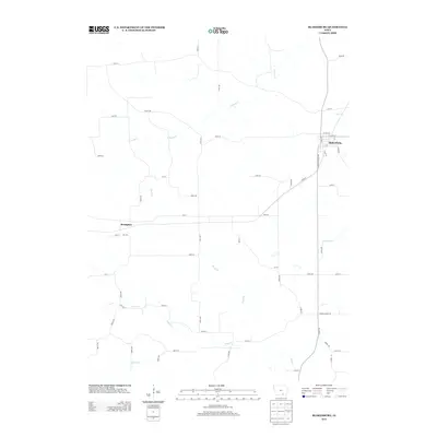
2013 Map of Blakesburg
USGS Topo · Published 2013About this map
Blakesburg serves as the primary hub in this rural landscape of southeastern Iowa, showing a grid of streets including W Polk St and E State St near the county line. The surrounding territory is defined by a dense network of creek drainages, most notably Soap Creek and S Avery Creek, which have shaped the placement of farm-to-market roads like Co Rd-H49. The small settlement of Brompton sits to the west, marking a quiet junction in an area where the terrain transitions from agricultural uplands to the wooded draws of Boyd Branch and Little Soap Creek. This 2013 survey provides a clear look at the contemporary rural road system and watercourses that have dictated the region's agricultural layout for generations.
Find a feature on this map
62 named features on this map. Tap any name to fly to it.
Don’t see what you’re looking for? This feature index may not catch every label — zoom into the map to look around manually.
Map Details
Editions of this 2013 Blakesburg Map
This is the sole edition of this map. No revisions or reprints were ever made.
Other maps of this area

1929 · Albia
USGS Topo · 1:62,500

1939 · Mystic
USGS Topo · 1:62,500

1942 · Mystic
USGS Topo · 1:62,500

1954 · Centerville
USGS Topo · 1:250,000

1954 · Des Moines
USGS Topo · 1:250,000

1956 · Des Moines
USGS Topo · 1:250,000

1957 · Des Moines
USGS Topo · 1:250,000

1957 · Centerville
USGS Topo · 1:250,000

1958 · Centerville
USGS Topo · 1:250,000

1966 · Hiattsville
USGS Topo · 1:24,000