
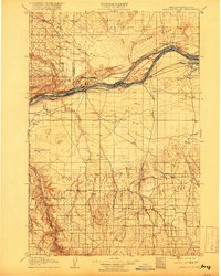
1908 Map of Blalock Island
USGS Topo · Published 1908About this map
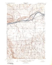
The Columbia River serves as the dominant axis for this early 20th-century landscape, separating the high plateaus of Oregon from the ridges of Washington. At its center lies Blalock Island, flanked by the navigational challenge of Canoe Encampment Rapids. The northern bank is defined by the Portland and Seattle Ry following the base of Paterson Ridge, while the southern shore carries the Oregon Railroad and Navigation Company.
Find a feature on this map
47 named features on this map. Tap any name to fly to it.
Don’t see what you’re looking for? This feature index may not catch every label — zoom into the map to look around manually.
Map Details
Editions of this 1908 Blalock Island Map
3 editions found
Other maps of this area

1906 · Blalock Island
USGS Topo · 1:125,000

1908 · Umatilla
USGS Topo · 1:125,000

1910 · Zillah
USGS Topo · 1:125,000

1915 · Prosser
USGS Topo · 1:125,000

1916 · Arlington
USGS Topo · 1:125,000

1916 · Condon
USGS Topo · 1:125,000

1917 · Pasco
USGS Topo · 1:125,000

1917 · Prosser
USGS Topo · 1:125,000

1950 · Yakima
USGS Topo · 1:250,000

1953 · Pendleton
USGS Topo · 1:250,000