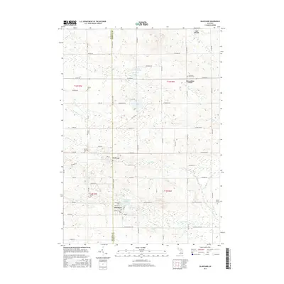
2017 Map of Blanchard
USGS Topo · Published 2017About this map
The Pine River and its various tributaries, including Pony Cr and Decker Cr, define the landscape along the Mecosta and Isabella County line. This region is anchored by the settlement of Blanchard, where the Blanchard Millpond and Babcock Pond suggest an early industrial reliance on local waterways. To the north, the community of Millbrook sits near the river's path, while Broomfield Center serves the northeast portion of the map.
Find a feature on this map
70 named features on this map. Tap any name to fly to it.
Don’t see what you’re looking for? This feature index may not catch every label — zoom into the map to look around manually.
Map Details
Editions of this 2017 Blanchard Map
This is the sole edition of this map. No revisions or reprints were ever made.
Other maps of this area

1916 · Mount Pleasant
USGS Topo · 1:62,500

1919 · Mount Pleasant
USGS Topo · 1:62,500

1943 · Mount Pleasant
USGS Topo · 1:62,500

1954 · Midland
USGS Topo · 1:250,000

1958 · Midland
USGS Topo · 1:250,000

1959 · Midland
USGS Topo · 1:250,000

1964 · Edmore
USGS Topo · 1:24,000

1964 · Six Lakes
USGS Topo · 1:24,000

1964 · Mecosta NW
USGS Topo · 1:24,000

1964 · Blanchard
USGS Topo · 1:24,000