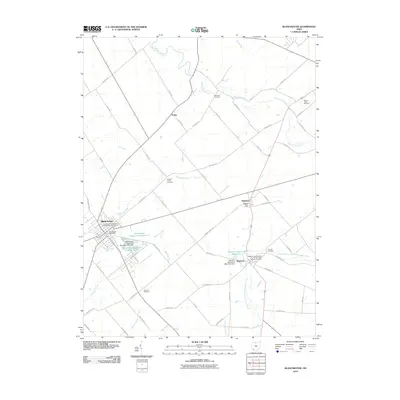
2010 Map of Blanchester
USGS Topo · Published 2010About this map
Blanchester serves as the primary hub for this area of Southwest Ohio, where the local economy is tied to the management of regional water resources. The landscape is defined by engineered hydrology, including Blanchester Upground Reservoir N and the Houston Upground Reservoir, alongside natural drainage from Second Creek and East Fork Todd Fork. This 2010 survey illustrates a region with deep community roots, evidenced by several fraternal and family burial grounds such as the Independent Order of Odd Fellows Cemetery in town and the Westboro Independent Order of Odd Fellows Cemetery to the east. Smaller settlements like Midland, Pansy, and Westboro remain connected by a network of rural roads and historical rail corridors, including Railroad Rd, preserving the traditional layout of Marion Township.
Find a feature on this map
67 named features on this map. Tap any name to fly to it.
Don’t see what you’re looking for? This feature index may not catch every label — zoom into the map to look around manually.
Map Details
Editions of this 2010 Blanchester Map
This is the sole edition of this map. No revisions or reprints were ever made.
Other maps of this area

1907 · Blanchester
USGS Topo · 1:62,500

1914 · Batavia
USGS Topo · 1:48,000

1914 · Morrow
USGS Topo · 1:62,500

1916 · Batavia
USGS Topo · 1:62,500

1916 · Morrow
USGS Topo · 1:62,500

1917 · Sardinia
USGS Topo · 1:62,500

1944 · Sardinia
USGS Topo · 1:62,500

1947 · Columbus
USGS Topo · 1:250,000

1953 · Newtonsville
USGS Topo · 1:24,000

1953 · Cincinnati
USGS Topo · 1:250,000