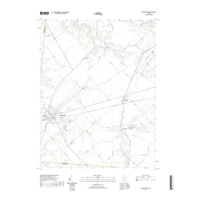
2019 Map of Blanchester
USGS Topo · Published 2019About this map
Blanchester serves as the primary hub of this landscape at the intersection of Clinton, Brown, and Warren counties. The town's infrastructure is defined by its water management systems, including the Blanchester Upground Reservoir N and Blanchester Reservoir Number Three, which sit adjacent to the residential grid. To the east, the settlement of Midland marks a critical junction where the rail corridor meets US Route 68.
Find a feature on this map
88 named features on this map. Tap any name to fly to it.
Don’t see what you’re looking for? This feature index may not catch every label — zoom into the map to look around manually.
Map Details
Editions of this 2019 Blanchester Map
This is the sole edition of this map. No revisions or reprints were ever made.
Other maps of this area

1907 · Blanchester
USGS Topo · 1:62,500

1914 · Batavia
USGS Topo · 1:48,000

1914 · Morrow
USGS Topo · 1:62,500

1916 · Batavia
USGS Topo · 1:62,500

1916 · Morrow
USGS Topo · 1:62,500

1917 · Sardinia
USGS Topo · 1:62,500

1944 · Sardinia
USGS Topo · 1:62,500

1947 · Columbus
USGS Topo · 1:250,000

1953 · Newtonsville
USGS Topo · 1:24,000

1953 · Cincinnati
USGS Topo · 1:250,000