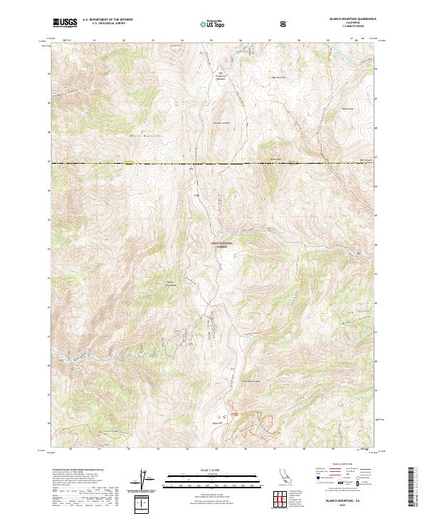
2021 Map of Blanco Mountain
USGS Topo · Published 2021About this map
Blanco Mtn rises as a central peak within the Inyo National Forest, anchoring a high-altitude landscape where the White Mountains and White-Inyo Range converge. This 2021 survey detail documents a region defined by its extreme topography and ancient ecology, notably the Ancient Bristlecone Pine Forest Methuselah National Recreation Trail and the nearby Bristlecone Cabin Trail.
Find a feature on this map
40 named features on this map. Tap any name to fly to it.
Don’t see what you’re looking for? This feature index may not catch every label — zoom into the map to look around manually.
Map Details
Editions of this 2021 Blanco Mountain Map
This is the sole edition of this map. No revisions or reprints were ever made.
Other maps of this area

1913 · Bishop
USGS Topo · 1:125,000

1917 · White Mountain
USGS Topo · 1:125,000

1947 · Mariposa
USGS Topo · 1:250,000

1948 · Mariposa
USGS Topo · 1:250,000

1949 · Bishop
USGS Topo · 1:62,500

1951 · Bishop
USGS Topo · 1:62,500

1951 · Blanco Mountain
USGS Topo · 1:62,500

1957 · Mariposa
USGS Topo · 1:250,000

1962 · Mt. Barcroft
USGS Topo · 1:62,500

1962 · White Mtn. Peak
USGS Topo · 1:62,500