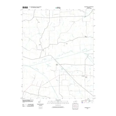
2010 Map of Blandville
USGS Topo · Published 2010About this map
Mayfield Creek meanders through the heart of this Western Kentucky landscape, joined by a network of tributaries including Hurricane Creek and Coon Branch. The terrain is defined by its water systems and rural road networks, supporting agricultural life in small communities like Gage and Cunningham. Local family history is preserved in several burial grounds such as Martin Cemetery, Robinson Cemetery, and Hall Cemetery, which are scattered throughout the quadrangle near established farmsteads. The settlement at Magee Springs and the junction at Ross Crossing represent the enduring rural character of Ballard County. This digital survey from the early 21st century provides an exact record of property boundaries, creek crossings, and the intricate system of county roads that have connected these settlements for generations.
Find a feature on this map
45 named features on this map. Tap any name to fly to it.
Don’t see what you’re looking for? This feature index may not catch every label — zoom into the map to look around manually.
Map Details
Editions of this 2010 Blandville Map
This is the sole edition of this map. No revisions or reprints were ever made.
Other maps of this area

1928 · La Center
USGS Topo · 1:62,500

1931 · Cairo
USGS Topo · 1:62,500

1932 · La Center
USGS Topo · 1:62,500

1933 · Cairo
USGS Topo · 1:62,500

1939 · Wickliffe
USGS Topo · 1:62,500

1939 · Cairo
USGS Topo · 1:62,500

1949 · Paducah
USGS Topo · 1:250,000

1950 · Paducah
USGS Topo · 1:250,000

1951 · Blandville
USGS Topo · 1:24,000

1951 · Arlington
USGS Topo · 1:24,000