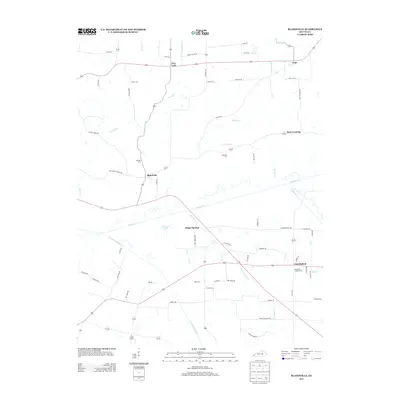
2013 Map of Blandville
USGS Topo · Published 2013About this map
Blandville sits at the heart of this Western Kentucky landscape, characterized by the winding path of Mayfield Creek and its many tributaries. The area's agricultural and rural identity is reflected in the numerous family-named roads and landmarks that crisscross the terrain, such as Stahl Rd and Martin Rd. For those researching local family histories, the map preserves the locations of several burial grounds, including Hillcrest Cem, Robinson Cem, and Martin Cem.
Find a feature on this map
65 named features on this map. Tap any name to fly to it.
Don’t see what you’re looking for? This feature index may not catch every label — zoom into the map to look around manually.
Map Details
Editions of this 2013 Blandville Map
This is the sole edition of this map. No revisions or reprints were ever made.
Other maps of this area

1928 · La Center
USGS Topo · 1:62,500

1931 · Cairo
USGS Topo · 1:62,500

1932 · La Center
USGS Topo · 1:62,500

1933 · Cairo
USGS Topo · 1:62,500

1939 · Wickliffe
USGS Topo · 1:62,500

1939 · Cairo
USGS Topo · 1:62,500

1949 · Paducah
USGS Topo · 1:250,000

1950 · Paducah
USGS Topo · 1:250,000

1951 · Blandville
USGS Topo · 1:24,000

1951 · Arlington
USGS Topo · 1:24,000