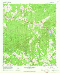
1965 Map of Bleecker
USGS Topo · Published 1966About this map
Salem and Bleecker anchor the upper reaches of this mid-1960s Alabama survey, a landscape defined by the intersection of rural crossroads and persistent rail lines. The Central Of Georgia railroad cuts diagonally across the terrain, passing through Shotwell and Motts while navigating a network of creek drainages including Wacoochee Creek and Uchee Creek. Local community life is centered around numerous country churches like New Hope Ch and Concord Ch, as well as the Wacoochee High Sch.
Find a feature on this map
34 named features on this map. Tap any name to fly to it.
Don’t see what you’re looking for? This feature index may not catch every label — zoom into the map to look around manually.
Map Details
Editions of this 1965 Bleecker Map
3 editions found
Other maps of this area

1907 · Opelika
USGS Topo · 1:125,000

1909 · Opelika
USGS Topo · 1:125,000
1914 · Seale
USGS Topo · 1:62,500
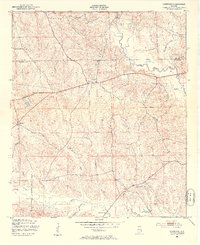
1950 · Crawford
USGS Topo · 1:24,000
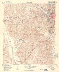
1950 · Phenix City
USGS Topo · 1:24,000
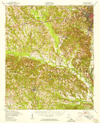
1950 · Seale
USGS Topo · 1:62,500
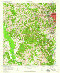
1955 · Phenix City
USGS Topo · 1:24,000
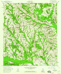
1955 · Crawford
USGS Topo · 1:24,000
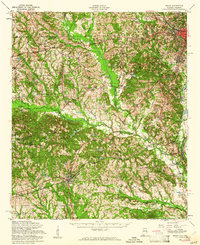
1955 · Seale
USGS Topo · 1:62,500

1955 · Phenix City
USGS Topo · 1:250,000