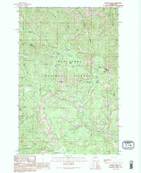
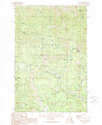
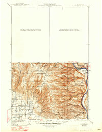
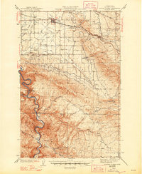
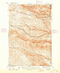
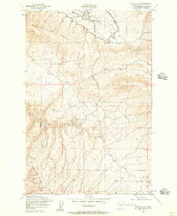
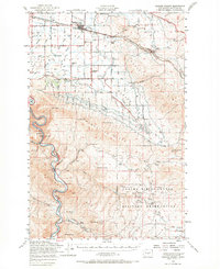
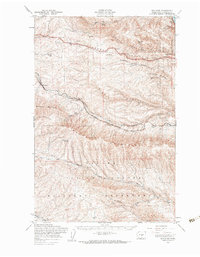
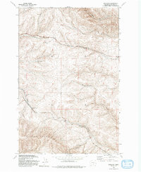
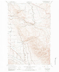
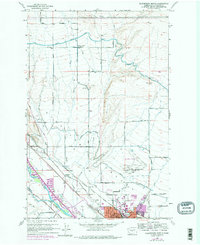
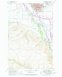
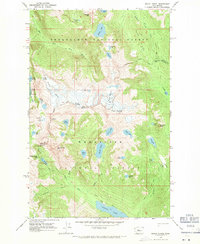
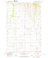
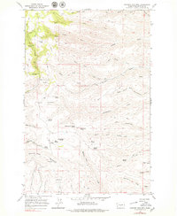
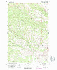
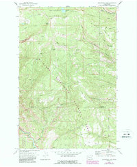
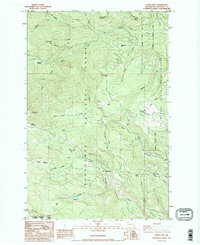
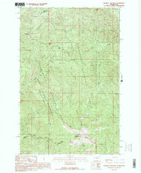
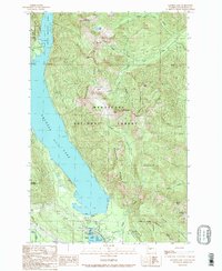
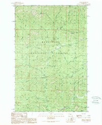
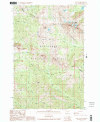
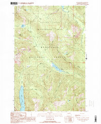
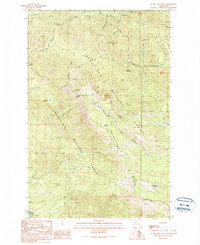
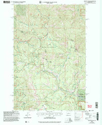
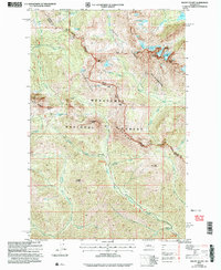
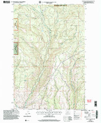
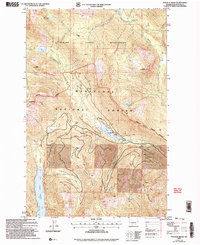
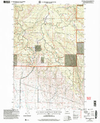
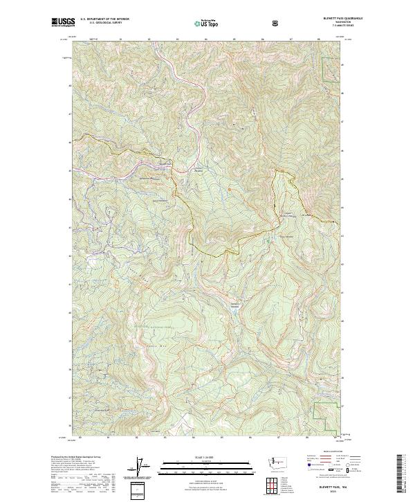
1989 Map of Blewett Pass
USGS Topo · Published 1996About this map
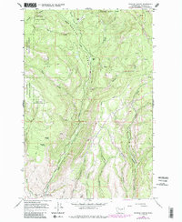
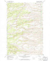
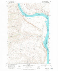
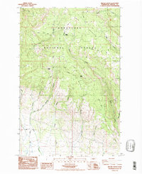
Wenatchee Mountains topography dominates this late 20th-century survey, specifically where the border between Chelan and Kittitas Counties crosses Blewett Pass. The landscape is characterized by its high-elevation meadows and industrial history, with numerous Prospect markings and the Swauk Prospects indicating a legacy of mineral exploration. Waterways like Tronsen Creek and Swauk Creek carve through the high terrain, which includes landmarks like Mount Lillian and Diamond Head.
Find a feature on this map
36 named features on this map. Tap any name to fly to it.
Don’t see what you’re looking for? This feature index may not catch every label — zoom into the map to look around manually.
Map Details
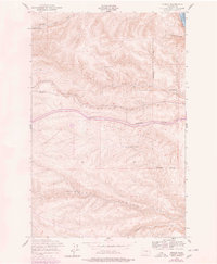
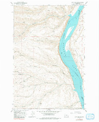
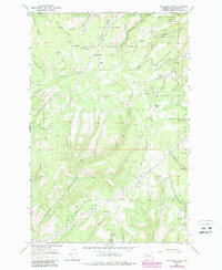
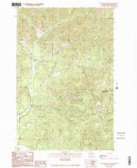
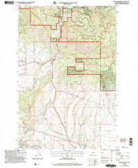
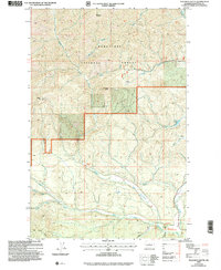
Editions of this 1989 Blewett Pass Map
2 editions found
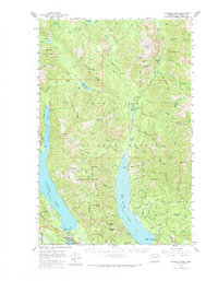
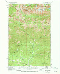
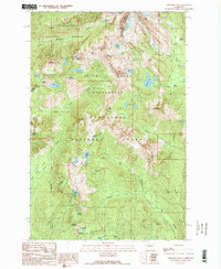
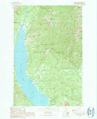
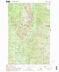
Historical Maps of Chelan County Through Time
110 maps found
1897 Mount Stuart
Kittitas County, WA
1902 Mount Stuart
Kittitas County, WA

1920 Colockum Pass
Kittitas County, WA
1922 Colockum Pass
Kittitas County, WA

1938 Badger Pocket
Kittitas County, WA

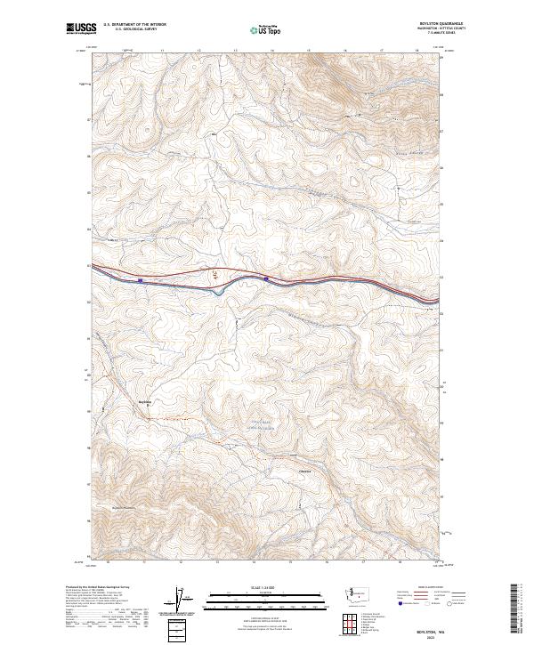
1939 Boylston
Kittitas County, WA
1943 Badger Pocket
Kittitas County, WA
1943 Boylston
Kittitas County, WA
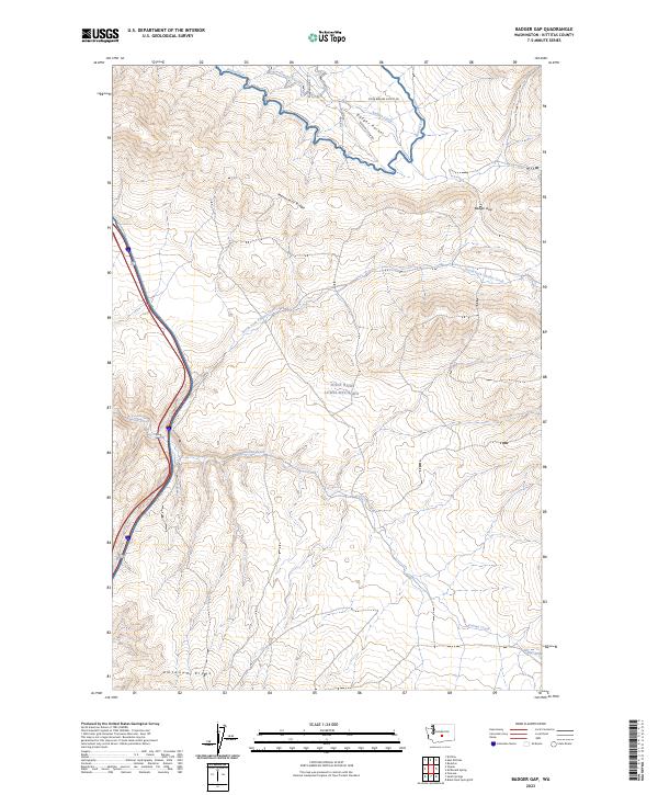
1953 Badger Gap
Kittitas County, WA
1953 Badger Pocket
Kittitas County, WA
1953 Boylston
Kittitas County, WA
1953 Boylston
Kittitas County, WA
1953 Doris
Kittitas County, WA
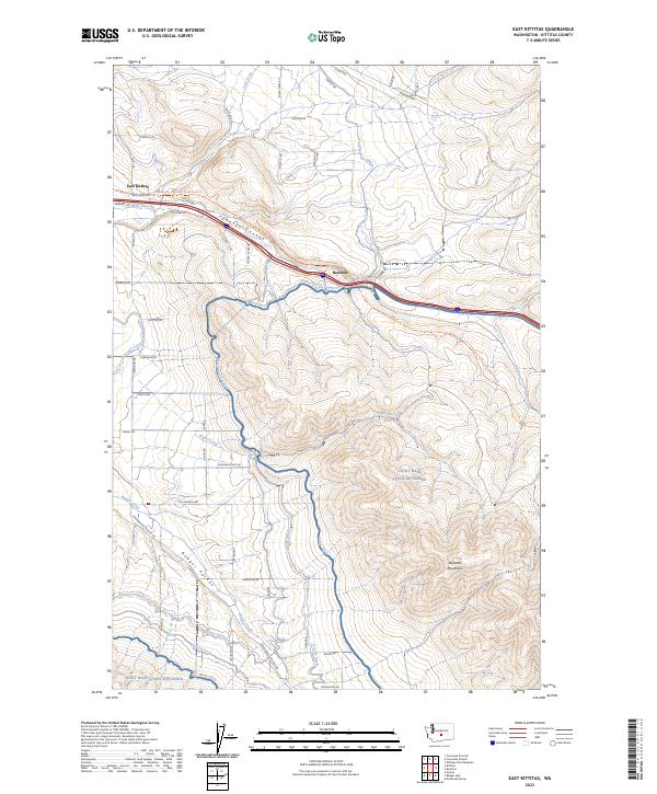
1953 East Kittitas
Kittitas County, WA
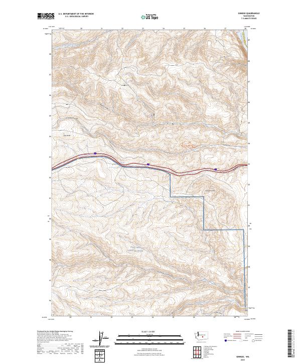
1953 Ginkgo
Kittitas County, WA
1953 Mc Donald Spring
Kittitas County, WA
1953 Wymer
Kittitas County, WA
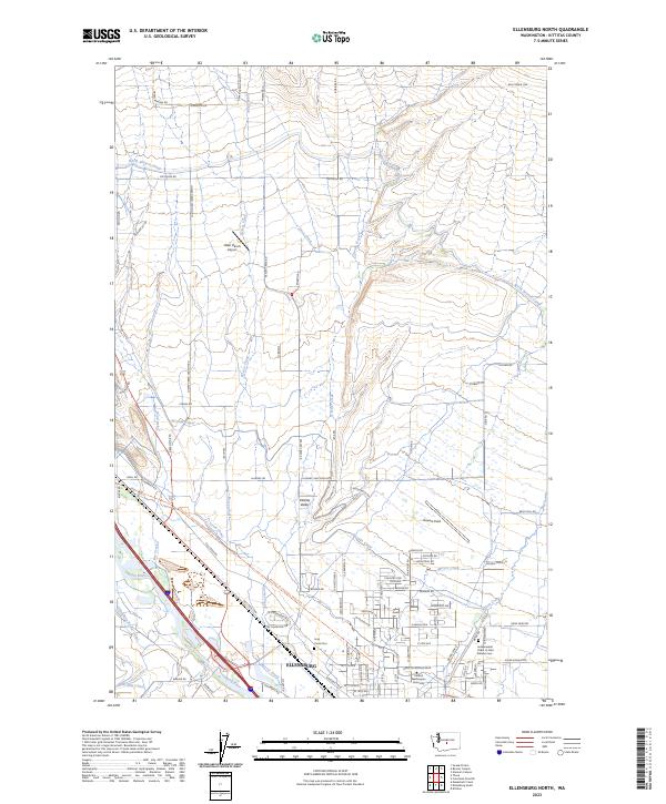
1958 Ellensburg North
Kittitas County, WA
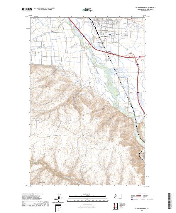
1958 Ellensburg South
Kittitas County, WA
1961 Kachess Lake
Kittitas County, WA
1961 Mount Stuart
Kittitas County, WA

1965 Badger Pocket
Kittitas County, WA
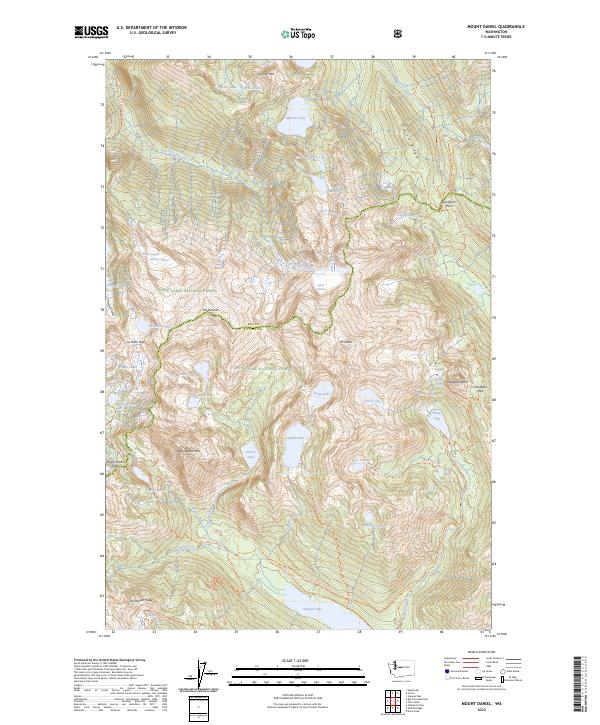
1965 Mount Daniel
Kittitas County, WA
1966 Cape Horn SE
Kittitas County, WA
1966 Colockum Pass
Kittitas County, WA
1966 Colockum Pass SE
Kittitas County, WA
1966 Colockum Pass SW
Kittitas County, WA
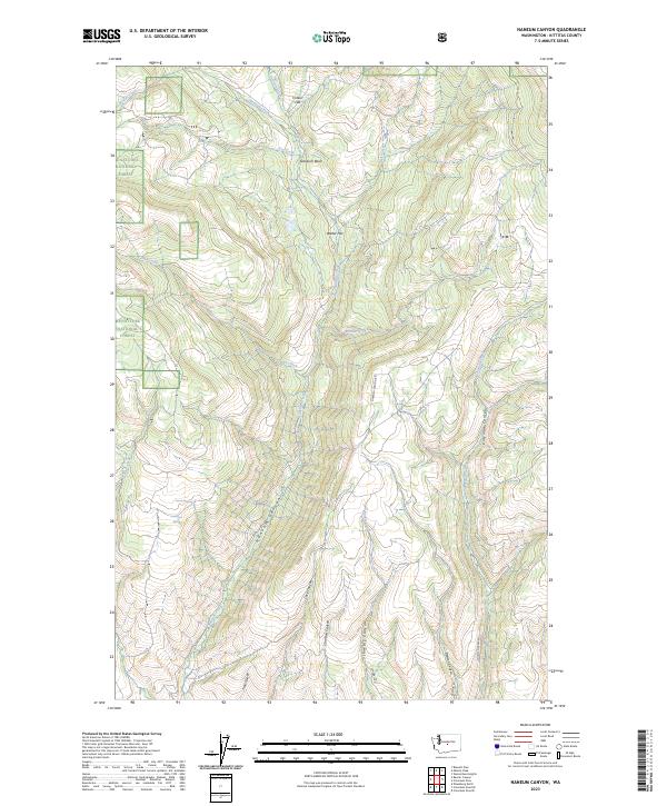
1966 Naneum Canyon
Kittitas County, WA
1966 Stray Gulch
Kittitas County, WA
1966 West Bar
Kittitas County, WA
1966 Whiskey Dick Mtn.
Kittitas County, WA
1971 Hudson Creek
Kittitas County, WA
1971 Manastash Lake
Kittitas County, WA
1984 Manastash Creek
Kittitas County, WA
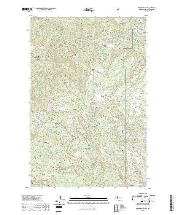
1985 Frost Mtn
Kittitas County, WA
1985 Reecer Canyon
Kittitas County, WA
1985 Swauk Prairie
Kittitas County, WA
1985 Taneum Canyon
Kittitas County, WA

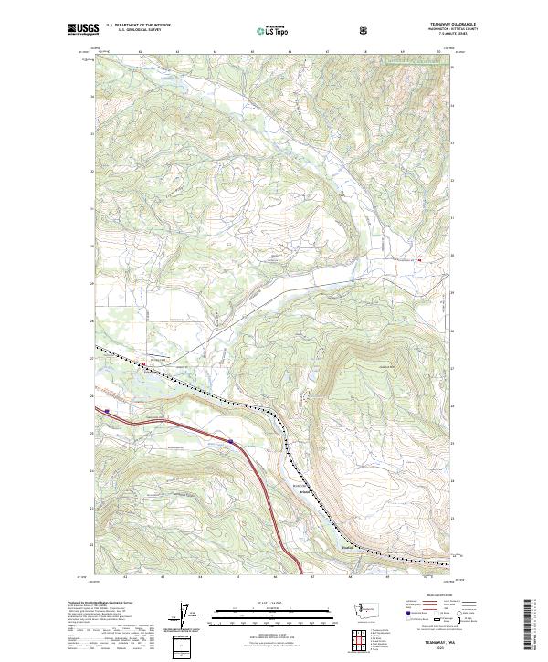
1985 Teanaway
Kittitas County, WA
1989 Blewett Pass
Kittitas County, WA
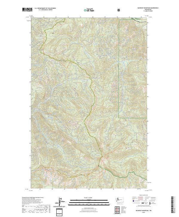
1989 Blowout Mountain
Kittitas County, WA
1989 Chikamin Peak
Kittitas County, WA
1989 Cle Elum Lake
Kittitas County, WA
1989 Davis Peak
Kittitas County, WA
1989 Kachess Lake
Kittitas County, WA
1989 Liberty
Kittitas County, WA
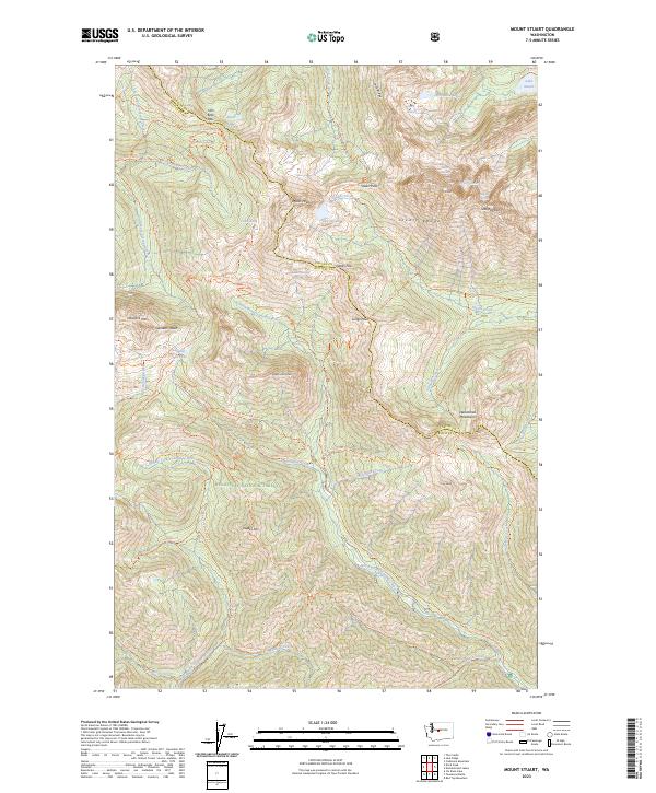
1989 Mount Stuart
Kittitas County, WA
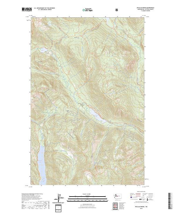
1989 Polallie Ridge
Kittitas County, WA
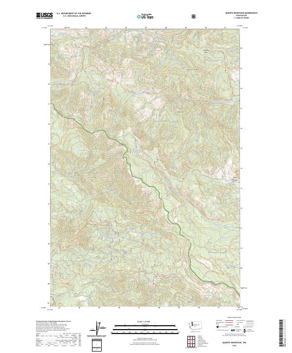
1989 Quartz Mountain
Kittitas County, WA
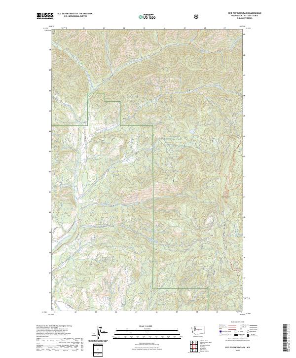
1989 Red Top Mountain
Kittitas County, WA
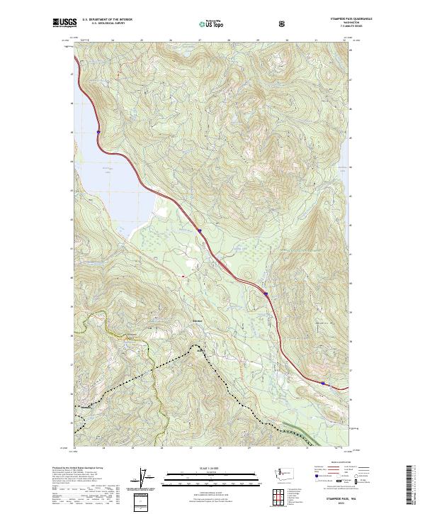
1989 Stampede Pass
Kittitas County, WA

1989 Teanaway
Kittitas County, WA
1992 Frost Mtn
Kittitas County, WA

1992 Manastash Lake
Kittitas County, WA

2000 Manastash Lake
Kittitas County, WA
2003 Blewett Pass
Kittitas County, WA

2003 Cle Elum Lake
Kittitas County, WA
2003 Davis Peak
Kittitas County, WA
2003 Frost Mountain
Kittitas County, WA
2003 Kachess Lake
Kittitas County, WA

2003 Liberty
Kittitas County, WA
2003 Mount Stuart
Kittitas County, WA
2003 Naneum Canyon
Kittitas County, WA
2003 Polallie Ridge
Kittitas County, WA
2003 Red Top Mountain
Kittitas County, WA
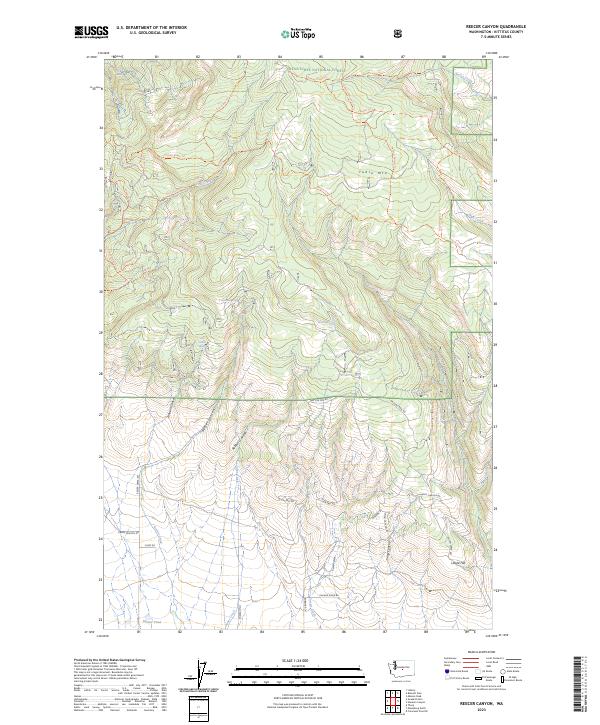
2003 Reecer Canyon
Kittitas County, WA
2003 Swauk Prairie
Kittitas County, WA

2003 Taneum Canyon
Kittitas County, WA
2003 Teanaway Butte
Kittitas County, WA
2003 Teanaway
Kittitas County, WA
2023 Badger Gap
Kittitas County, WA
2023 Blewett Pass
Kittitas County, WA
2023 Blowout Mountain
Kittitas County, WA
2023 Boylston
Kittitas County, WA
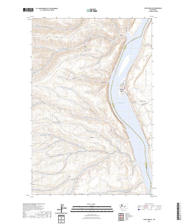
2023 Cape Horn SE
Kittitas County, WA
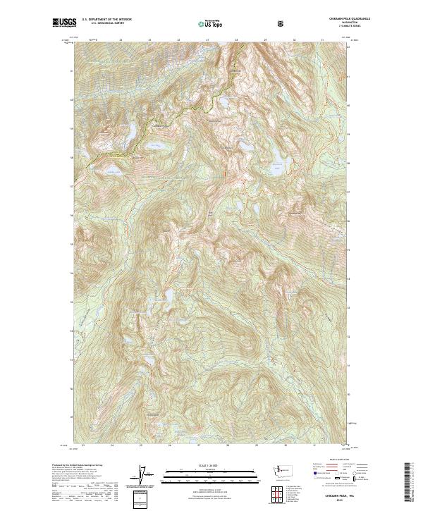
2023 Chikamin Peak
Kittitas County, WA
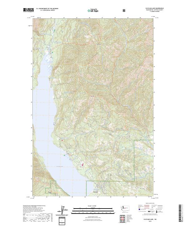
2023 Cle Elum Lake
Kittitas County, WA
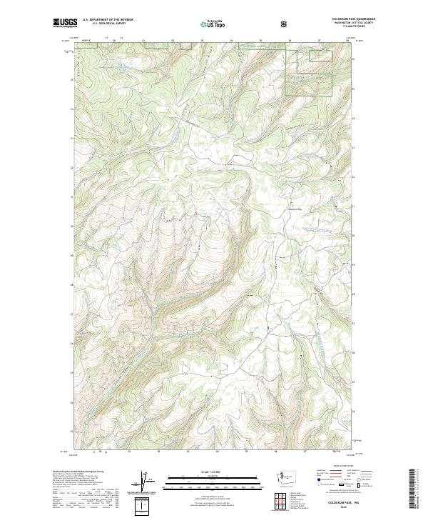
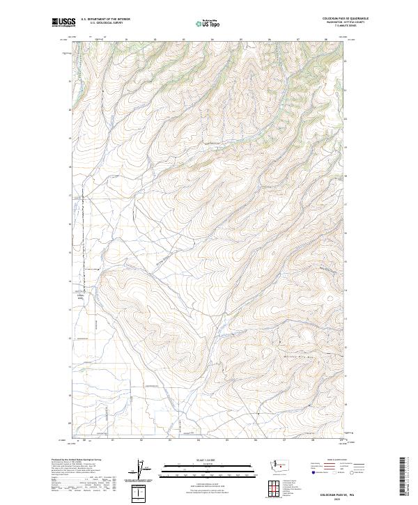
2023 Colockum Pass
Kittitas County, WA
2023 Colockum Pass SE
Kittitas County, WA
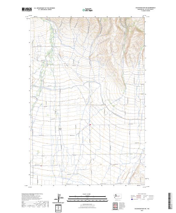
2023 Colockum Pass SW
Kittitas County, WA
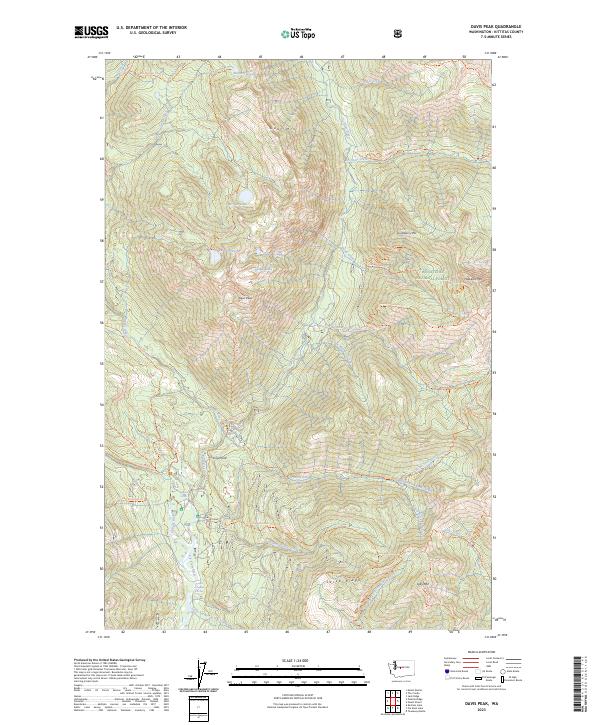
2023 Davis Peak
Kittitas County, WA
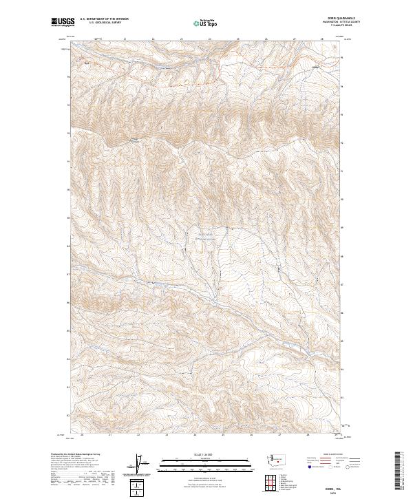
2023 Doris
Kittitas County, WA
2023 East Kittitas
Kittitas County, WA
2023 Ellensburg North
Kittitas County, WA
2023 Ellensburg South
Kittitas County, WA
2023 Frost Mountain
Kittitas County, WA
2023 Ginkgo
Kittitas County, WA
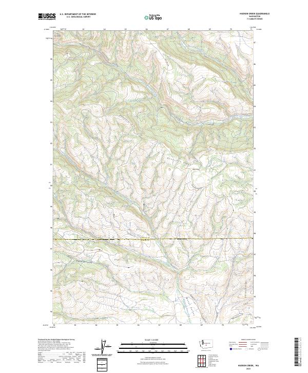
2023 Hudson Creek
Kittitas County, WA
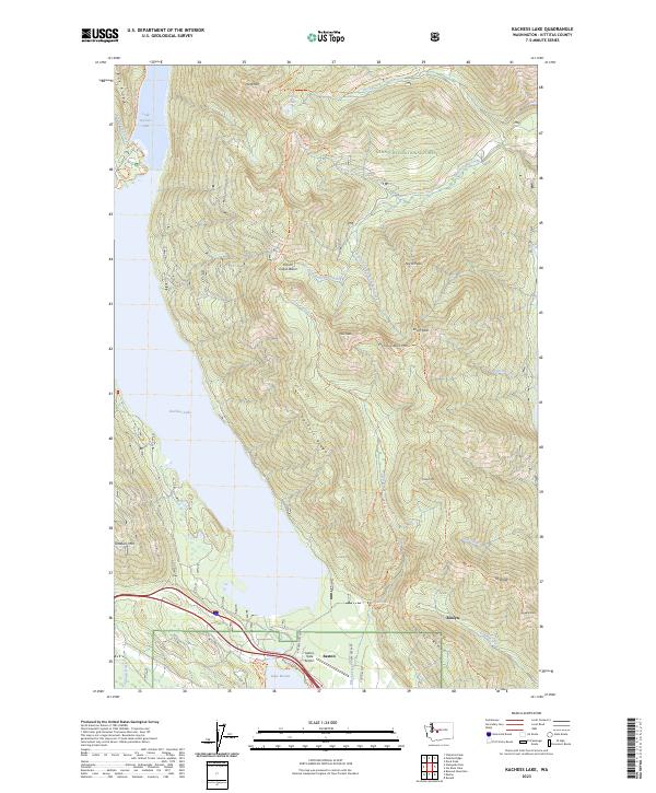
2023 Kachess Lake
Kittitas County, WA
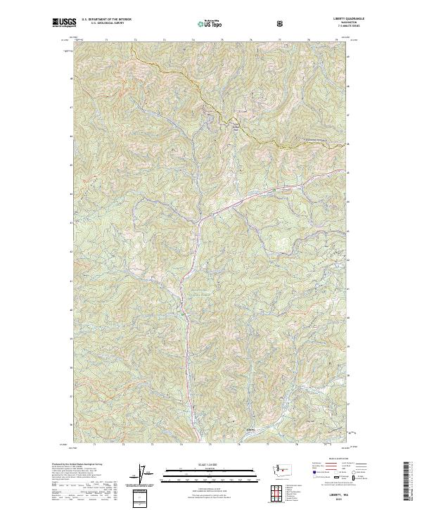
2023 Liberty
Kittitas County, WA
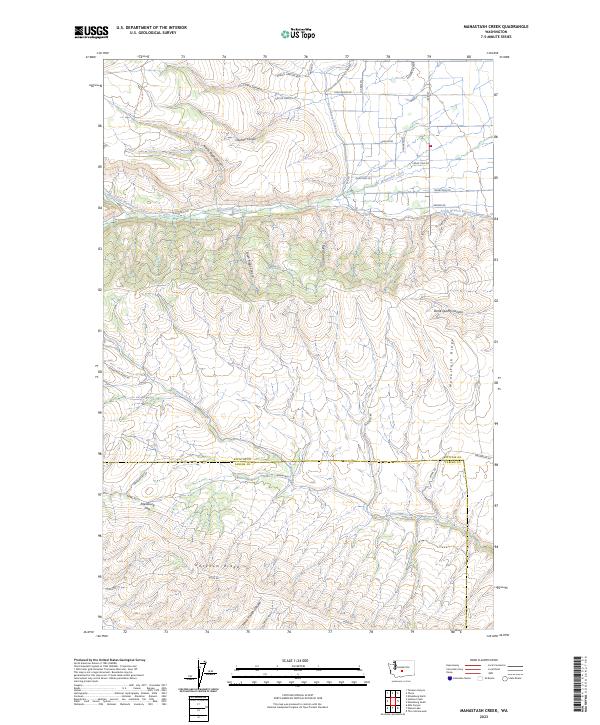
2023 Manastash Creek
Kittitas County, WA
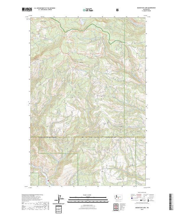
2023 Manastash Lake
Kittitas County, WA
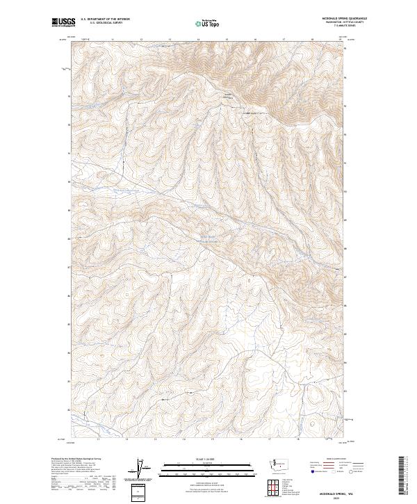
2023 McDonald Spring
Kittitas County, WA
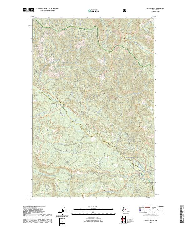
2023 Mount Clifty
Kittitas County, WA
2023 Mount Daniel
Kittitas County, WA
2023 Mount Stuart
Kittitas County, WA
2023 Naneum Canyon
Kittitas County, WA
2023 Polallie Ridge
Kittitas County, WA
2023 Quartz Mountain
Kittitas County, WA
2023 Red Top Mountain
Kittitas County, WA
2023 Reecer Canyon
Kittitas County, WA
2023 Stampede Pass
Kittitas County, WA
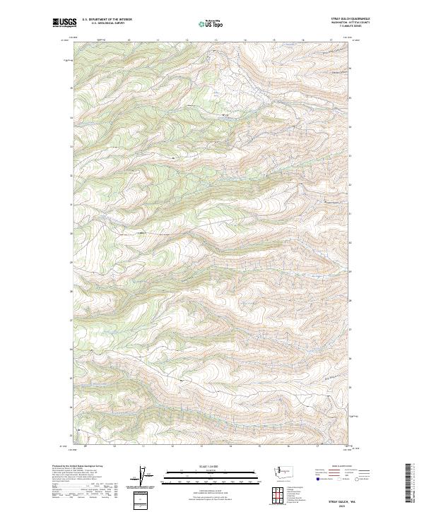
2023 Stray Gulch
Kittitas County, WA
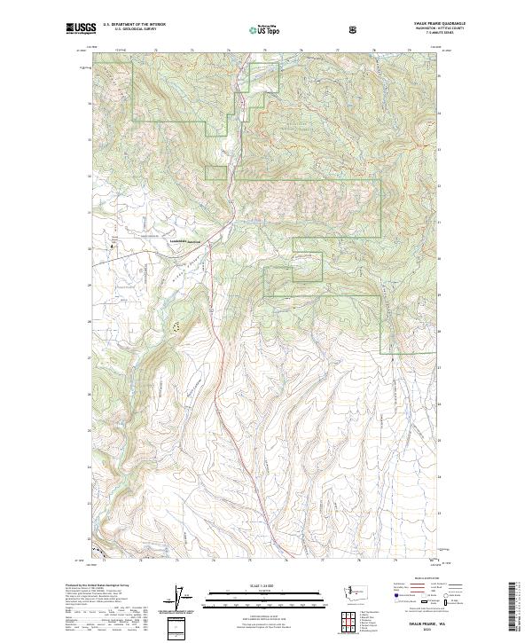
2023 Swauk Prairie
Kittitas County, WA
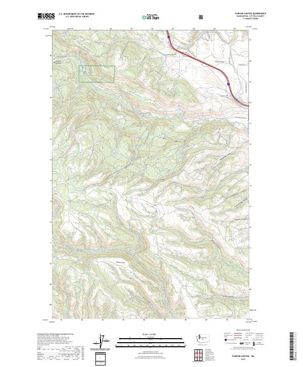
2023 Taneum Canyon
Kittitas County, WA
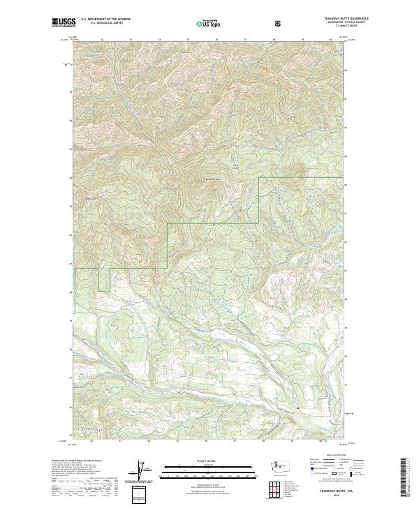
2023 Teanaway Butte
Kittitas County, WA
2023 Teanaway
Kittitas County, WA
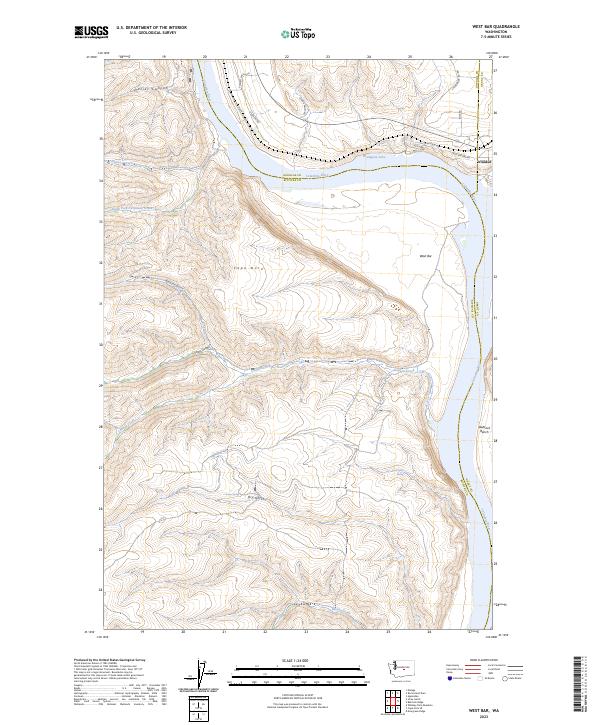
2023 West Bar
Kittitas County, WA
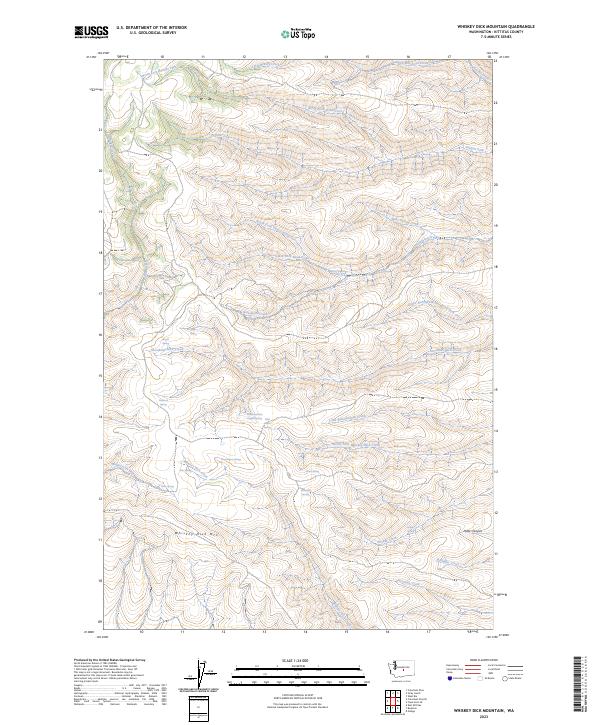
2023 Whiskey Dick Mountain
Kittitas County, WA
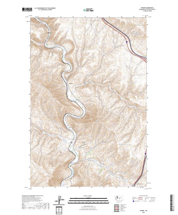
2023 Wymer
Kittitas County, WA