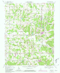
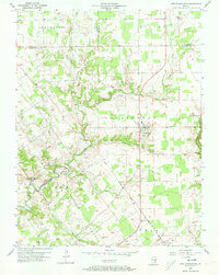
1968 Map of Blocher
USGS Topo · Published 1981About this map
Lexington and Blocher anchor this topographic survey of Scott County, where the iron rails of the Baltimore and Ohio RR slice through a landscape of creek bottoms and small-scale agriculture. The settlement pattern reflects nineteenth-century foundations, featuring rural centers like New Frankfort and Wooster alongside a dense network of country institutions. Researchers will find numerous ecclesiastical and educational landmarks, including Township Sch, Scaffold Lick Ch, and Emmanuel Ch.
Find a feature on this map
49 named features on this map. Tap any name to fly to it.
Don’t see what you’re looking for? This feature index may not catch every label — zoom into the map to look around manually.
Map Details
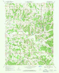
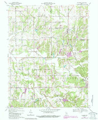
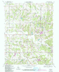
Editions of this 1968 Blocher Map
4 editions found
Other maps of this area

1947 · Scottsburg
USGS Topo · 1:24,000

1949 · Henryville
USGS Topo · 1:24,000

1956 · Otisco
USGS Topo · 1:24,000

1956 · Volga
USGS Topo · 1:24,000

1956 · Blocher
USGS Topo · 1:24,000

1956 · Kent
USGS Topo · 1:24,000

1956 · Deputy
USGS Topo · 1:24,000
1956 · New Washington
USGS Topo · 1:24,000

1956 · Louisville
USGS Topo · 1:250,000

1959 · Crothersville
USGS Topo · 1:24,000