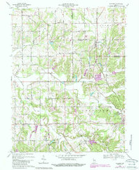
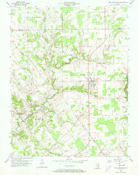
1968 Map of Blocher
USGS Topo · Published 1988About this map
The Baltimore and Ohio RR cuts a north-south line through the heart of Scott County, anchoring the small communities of Blocher and Lexington. This landscape in the late 1960s is defined by a series of rural settlements and named family roads, including Bethlehem Road and Kimberlin Road. The map reveals a dense network of local landmarks essential for genealogical research, such as Bethel Cem, Hopewell Cem, and the Scaffold Lick Ch. To the north, the burgeoning Hardy Lake State Recreation Area marks a shift toward public land use, while small agricultural hubs like New Frankfort and Wooster maintain their traditional character. Waterways like Stucker Fork and Kimberlin Creek weave through the township boundaries of Vienna and Lexington, illustrating the historical drainage patterns that shaped local farm placement.
Find a feature on this map
49 named features on this map. Tap any name to fly to it.
Don’t see what you’re looking for? This feature index may not catch every label — zoom into the map to look around manually.
Map Details
Editions of this 1968 Blocher Map
4 editions found
Other maps of this area

1947 · Scottsburg
USGS Topo · 1:24,000

1949 · Henryville
USGS Topo · 1:24,000

1956 · Otisco
USGS Topo · 1:24,000

1956 · Volga
USGS Topo · 1:24,000

1956 · Blocher
USGS Topo · 1:24,000

1956 · Kent
USGS Topo · 1:24,000

1956 · Deputy
USGS Topo · 1:24,000
1956 · New Washington
USGS Topo · 1:24,000

1956 · Louisville
USGS Topo · 1:250,000

1959 · Crothersville
USGS Topo · 1:24,000