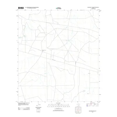
2013 Map of Blocker Tank
USGS Topo · Published 2013About this map
Light sits at the center of this South Texas landscape, defined by wide-open ranching land and the ephemeral waterways of the Brush Country. The map identifies several property-associated landmarks such as E A Juvenal, J McGowan, and C Newton, providing a detailed look at contemporary rural land divisions in La Salle County. Transportation and access are anchored by Ranch Road 133, which bisects the territory, and the Rancho Ecantado Airport, reflecting the necessity of air travel in this expansive region. Water management is a primary feature of the terrain, visible through the presence of Blocker Tank and the seasonal flow of Sage Cr, alongside industrial or agricultural impoundments like Light Lake Number 3 and Light Lake Number 4.
Find a feature on this map
11 named features on this map. Tap any name to fly to it.
Don’t see what you’re looking for? This feature index may not catch every label — zoom into the map to look around manually.
Map Details
Editions of this 2013 Blocker Tank Map
This is the sole edition of this map. No revisions or reprints were ever made.
Other maps of this area

1925 · San Roque Lake 1-a
USGS Topo · 1:48,000

1927 · Bart
USGS Topo · 1:62,500

1929 · Cotulla
USGS Topo · 1:125,000

1932 · Valley Wells
USGS Topo · 1:62,500

1940 · Velenzuela Creek
USGS Topo · 1:62,500

1940 · Catarina
USGS Topo · 1:62,500

1940 · Artesia Wells
USGS Topo · 1:62,500

1953 · Crystal City
USGS Topo · 1:250,000

1955 · Crystal City
USGS Topo · 1:250,000

1957 · Encinal
USGS Topo · 1:62,500