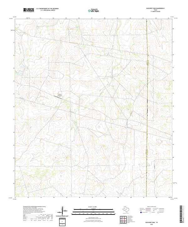
2022 Map of Blocker Tank
USGS Topo · Published 2022About this map
Sage Cr weaves through this corner of South Texas, defining a landscape of ranch lands and intermittent water features along the border of Dimmit and La Salle Counties. The geography is characteristic of the Brush Country, where wide-reaching drainage patterns like those of the creek are punctuated by managed water bodies such as Light Lake Number 3 and Light Lake Number 4. Transportation and access are primarily facilitated by Ranch Rd 133 and Fm 133, which serve as the lifelines for the region's agricultural and aviation interests. The presence of the Rancho Ecantado Airport underscores the scale of these properties, where private airfields are common for managing expansive landholdings far from major population centers. Local thoroughfares like Chaparral Dr and Snowden Rd provide further context for the rural settlement patterns in this part of the state.
Find a feature on this map
9 named features on this map. Tap any name to fly to it.
Don’t see what you’re looking for? This feature index may not catch every label — zoom into the map to look around manually.
Map Details
Editions of this 2022 Blocker Tank Map
This is the sole edition of this map. No revisions or reprints were ever made.
Other maps of this area

1925 · San Roque Lake 1-a
USGS Topo · 1:48,000

1927 · Bart
USGS Topo · 1:62,500

1929 · Cotulla
USGS Topo · 1:125,000

1932 · Valley Wells
USGS Topo · 1:62,500

1940 · Velenzuela Creek
USGS Topo · 1:62,500

1940 · Catarina
USGS Topo · 1:62,500

1940 · Artesia Wells
USGS Topo · 1:62,500

1953 · Crystal City
USGS Topo · 1:250,000

1955 · Crystal City
USGS Topo · 1:250,000

1957 · Encinal
USGS Topo · 1:62,500