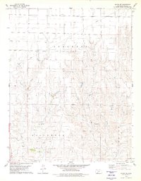
1979 Map of Bloom SW
USGS Topo · Published 1980About this map
Keiger Creek and Little Sandy Creek carve through this section of Clark County, defining a landscape of drainage patterns and subtle relief. The territory is organized across the townships of Appleton, Englewood, and Center, reflecting a late-1970s view of rural Kansas land management. Sparse settlements are marked by small localities such as Jacobs and Pike, while the presence of a Radio Tower and an extensive east-west Pipeline indicate the infrastructure supporting this agricultural and utility corridor. Several natural water sources, simply labeled Springs and Spring, dot the southern terrain near Sugarloaf, a prominent topographical landmark. A Gravel Pit in the southwest corner suggests the local extraction industry during this era of survey.
Find a feature on this map
13 named features on this map. Tap any name to fly to it.
Don’t see what you’re looking for? This feature index may not catch every label — zoom into the map to look around manually.
Map Details
Editions of this 1979 Bloom SW Map
2 editions found
Other maps of this area

1892 · Meade
USGS Topo · 1:125,000

1896 · Ashland
USGS Topo · 1:125,000

1955 · Pratt
USGS Topo · 1:250,000

1955 · Dodge City
USGS Topo · 1:250,000

1958 · Dodge City
USGS Topo · 1:250,000

1959 · Pratt
USGS Topo · 1:250,000

1959 · Dodge City
USGS Topo · 1:250,000

1967 · Bloom
USGS Topo · 1:24,000

1967 · Fowler SE
USGS Topo · 1:24,000

1967 · Minneola
USGS Topo · 1:24,000