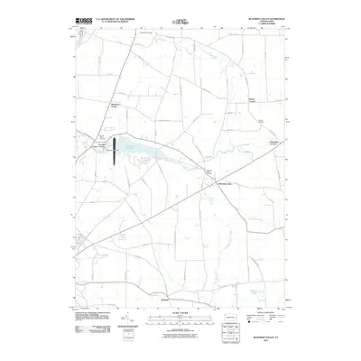
2010 Map of Blooming Valley
USGS Topo · Published 2010About this map
Blooming Valley and the surrounding rural landscape of Crawford County are defined by the winding waters of Woodcock Creek and the significant basin of Woodcock Creek Lake. This 2010 survey illustrates a region where agricultural traditions persist alongside modern infrastructure, as seen at the Woodcock Creek Dam and the small Gravel Run Airport. Historically significant nodes such as Fountain House Corners, Pinney Corners, and Delamater Corners mark the intersections of old county roads, suggesting the early settlement patterns of the area. Local genealogy is well-represented through the presence of several established burial grounds, including Mount Blair Cemetery, Townley Cemetery, and Blooming Valley Cemetery. In the south, the village of Wayland sits near the headwaters of Little Sugar Creek, while the northwestern corner is touched by the course of French Creek, anchoring the map in a well-watered valley system.
Find a feature on this map
64 named features on this map. Tap any name to fly to it.
Don’t see what you’re looking for? This feature index may not catch every label — zoom into the map to look around manually.
Map Details
Editions of this 2010 Blooming Valley Map
This is the sole edition of this map. No revisions or reprints were ever made.
Other maps of this area

1923 · Meadville
USGS Topo · 1:62,500

1923 · Cambridge Springs
USGS Topo · 1:62,500

1925 · Meadville
USGS Topo · 1:62,500

1925 · Cambridge Springs
USGS Topo · 1:62,500

1927 · Townville
USGS Topo · 1:48,000

1929 · Union City
USGS Topo · 1:62,500

1932 · Townville
USGS Topo · 1:62,500

1932 · Union City
USGS Topo · 1:62,500

1943 · Meadville
USGS Topo · 1:62,500

1943 · Cambridge Springs
USGS Topo · 1:62,500