
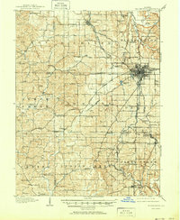
1910 Map of Bloomington
USGS Topo · Published 1910About this map
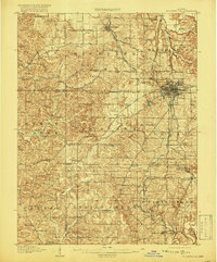
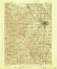
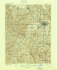
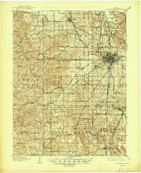
The Indiana University campus anchors the growing city of Bloomington in this 1910 survey, which captures the region's transition into a major industrial and educational hub. A dense network of rail lines, including the Chicago Indianapolis and Louisville RR and the Southern RR, crisscrosses the landscape to serve the local economy. The concentration of features like limestone quarries and specialized stops such as Diamond Quarry Switch reveals a landscape heavily shaped by mineral extraction.
Find a feature on this map
113 named features on this map. Tap any name to fly to it.
Don’t see what you’re looking for? This feature index may not catch every label — zoom into the map to look around manually.
Map Details
Editions of this 1910 Bloomington Map
6 editions found
Other maps of this area

1908 · Bloomington
USGS Topo · 1:48,000

1908 · Bloomfield
USGS Topo · 1:62,500

1934 · Bedford
USGS Topo · 1:48,000

1935 · Oolitic
USGS Topo · 1:48,000

1937 · Bedford
USGS Topo · 1:62,500

1942 · Franklin
USGS Topo · 1:125,000

1942 · Oolitic
USGS Topo · 1:62,500

1947 · Allens Creek
USGS Topo · 1:24,000

1947 · Unionville
USGS Topo · 1:24,000

1947 · Gosport
USGS Topo · 1:24,000