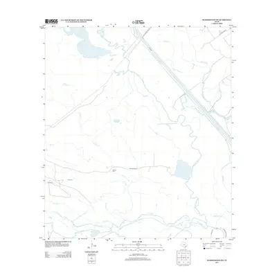
2013 Map of Bloomington SW
USGS Topo · Published 2013About this map
The confluence of the Guadalupe River and the San Antonio River dominates this coastal Texas landscape, where a dense network of bayous and creeks defines the low-lying terrain. The construction of the Victoria Barge Canal cuts a straight path through the delta, contrasting with the sinuous curves of Black Bayou and Elm Bayou. This 2013 survey provides essential details for genealogists and local historians, pinpointing two specific burial sites: Rydolph Cem near Kuy Cr and Stiger Cem along Cushman Rd. The presence of Linn Lake and Sand Lake further illustrates the hydrological complexity of this region in Calhoun County. Modern infrastructure like McFaddin Road N and the Levee Rd trace the edges of these wetlands, reflecting the ongoing efforts to manage water and transit in this riverine environment.
Find a feature on this map
25 named features on this map. Tap any name to fly to it.
Don’t see what you’re looking for? This feature index may not catch every label — zoom into the map to look around manually.
Map Details
Editions of this 2013 Bloomington SW Map
This is the sole edition of this map. No revisions or reprints were ever made.
Other maps of this area

1951 · Bloomington
USGS Topo · 1:24,000

1952 · Tivoli
USGS Topo · 1:24,000

1952 · Bloomington SW
USGS Topo · 1:24,000

1952 · Austwell
USGS Topo · 1:24,000

1952 · Placedo
USGS Topo · 1:24,000

1952 · Green Lake
USGS Topo · 1:24,000

1953 · Beeville
USGS Topo · 1:250,000

1954 · Vidaurri
USGS Topo · 1:62,500

1956 · Beeville
USGS Topo · 1:250,000

1960 · Beeville
USGS Topo · 1:250,000