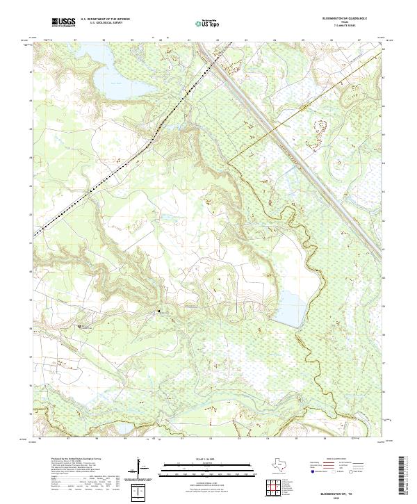
2022 Map of Bloomington SW
USGS Topo · Published 2022About this map
The Guadalupe and San Antonio rivers converge in this coastal plain landscape, defining a complex network of waterways south of Victoria. The Guadalupe River meanders through an expansive wetland system, flanked by the Old River and various sloughs including Black Bayou and Elm Bayou. This low-lying terrain is characterized by numerous small lakes, most notably Linn Lake and Sand Lake, which suggest a landscape frequently reshaped by seasonal flooding and shifting river channels.
Find a feature on this map
30 named features on this map. Tap any name to fly to it.
Don’t see what you’re looking for? This feature index may not catch every label — zoom into the map to look around manually.
Map Details
Editions of this 2022 Bloomington SW Map
This is the sole edition of this map. No revisions or reprints were ever made.
Other maps of this area

1951 · Bloomington
USGS Topo · 1:24,000

1952 · Tivoli
USGS Topo · 1:24,000

1952 · Bloomington SW
USGS Topo · 1:24,000

1952 · Austwell
USGS Topo · 1:24,000

1952 · Placedo
USGS Topo · 1:24,000

1952 · Green Lake
USGS Topo · 1:24,000

1953 · Beeville
USGS Topo · 1:250,000

1954 · Vidaurri
USGS Topo · 1:62,500

1956 · Beeville
USGS Topo · 1:250,000

1960 · Beeville
USGS Topo · 1:250,000