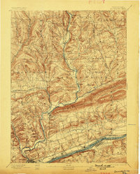
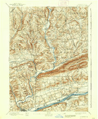
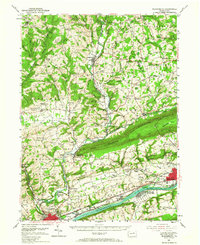
1894 Map of Bloomsburg
USGS Topo · Published 1899About this map
Bloomsburg and its surrounding river valley settlements are documented here during a period of significant expansion along the Susquehanna River. The map illustrates a landscape shaped by both industry and topography, where the D. L. and W. RR and the Sullivan and Erie RR follow the river banks and creek beds to navigate the steep ridges of Knob Mountain and Huntington Mountain.
Find a feature on this map
64 named features on this map. Tap any name to fly to it.
Don’t see what you’re looking for? This feature index may not catch every label — zoom into the map to look around manually.
Map Details
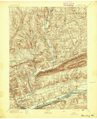
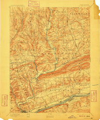
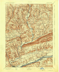
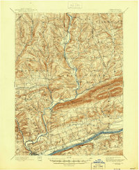
Editions of this 1894 Bloomsburg Map
6 editions found
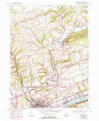
Historical Maps of Bloomsburg Through Time
10 maps found
1894 Bloomsburg
Columbia County, PA
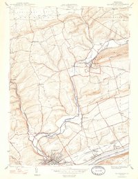
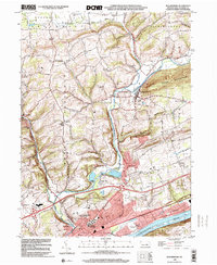
1947 Bloomsburg
Columbia County, PA
1953 Bloomsburg
Columbia County, PA
1954 Bloomsburg
Columbia County, PA
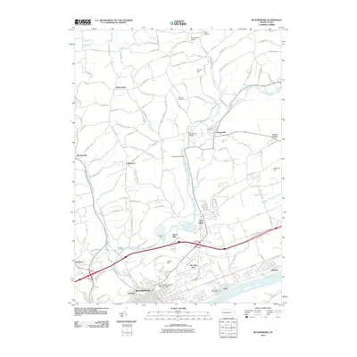
1999 Bloomsburg
Columbia County, PA
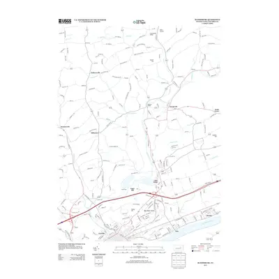
2010 Bloomsburg
Columbia County, PA
2013 Bloomsburg
Columbia County, PA
2016 Bloomsburg
Columbia County, PA
2019 Bloomsburg
Columbia County, PA
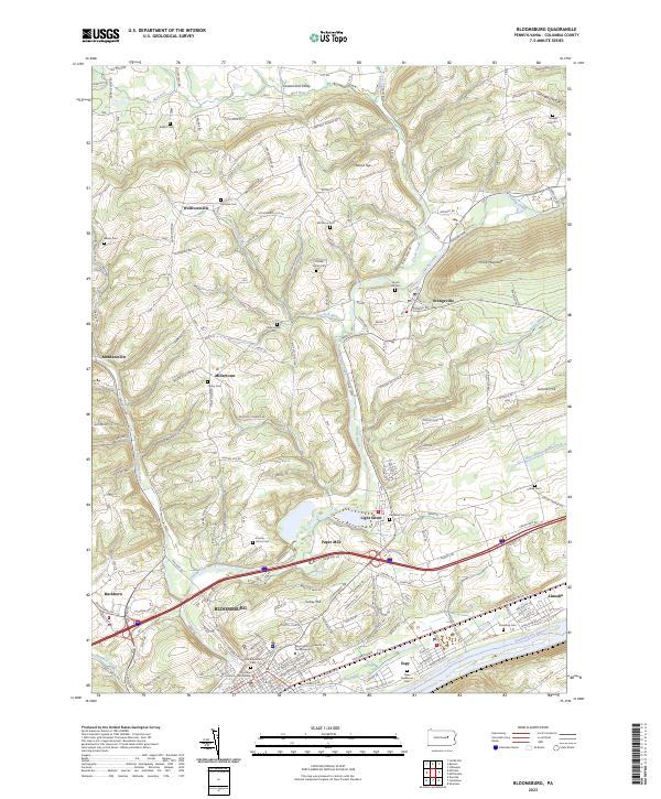
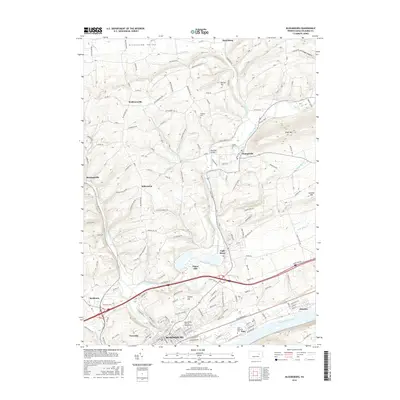
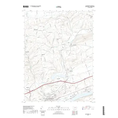
2023 Bloomsburg
Columbia County, PA