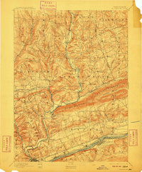
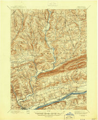
1894 Map of Bloomsburg
USGS Topo · Published 1910About this map
The Susquehanna River corridor serves as the industrial and transportation anchor for this late 19th-century study of Columbia County. The town of Bloomsburg is clearly defined at the confluence of Fishing Creek and the river, showing its growth as a regional hub supported by the Bloomsburg and Sullivan R R and the D L and W R R. Traces of the mid-century economy are visible in the Penn Canal, which runs parallel to the river through Mifflinville and Espy.
Find a feature on this map
72 named features on this map. Tap any name to fly to it.
Don’t see what you’re looking for? This feature index may not catch every label — zoom into the map to look around manually.
Map Details
Editions of this 1894 Bloomsburg Map
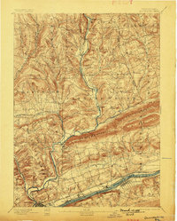
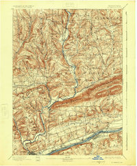
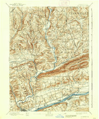
6 editions found

Other maps of this area

1889 · Catawissa
USGS Topo · 1:62,500

1891 · Harveys Lake
USGS Topo · 1:62,500

1892 · Catawissa
USGS Topo · 1:62,500

1892 · Shamokin
USGS Topo · 1:62,500

1892 · Mahanoy
USGS Topo · 1:62,500

1893 · Harvey Lake
USGS Topo · 1:62,500

1893 · Shamokin
USGS Topo · 1:62,500

1893 · Mahanoy
USGS Topo · 1:62,500

1894 · Catawissa
USGS Topo · 1:62,500

1894 · Shickshinny
USGS Topo · 1:62,500