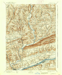
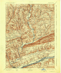
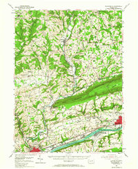
1894 Map of Bloomsburg
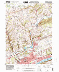
USGS Topo · Published 1937About this map
Bloomsburg serves as the focal point of this late 19th-century landscape, situated along the north bank of the Susquehanna River where the Bloomsburg and Sullivan R.R. meets the D. L. and W. R.R.. The map reveals a transition from the industrial and transportation corridor of the river valley—marked by the Penn. Canal and numerous rail lines—to the high ridges of Knob Mountain and Lee Mountain. These parallel ranges dictate the course of Fishing Creek and its many tributaries, creating a series of narrow valleys where early settlements like Stillwater and Benton took root. Geographers H.M. Wilson and S.S. Gannett documented a network of small mill towns and stations, such as Coles Mills and Zaner Station, which reflect the region's reliance on water power and rail access before the turn of the century.
Find a feature on this map
70 named features on this map. Tap any name to fly to it.
Don’t see what you’re looking for? This feature index may not catch every label — zoom into the map to look around manually.
Map Details
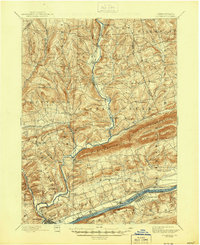
Editions of this 1894 Bloomsburg Map
6 editions found
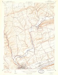
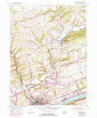
Historical Maps of Bloomsburg Through Time
10 maps found
1894 Bloomsburg
Columbia County, PA
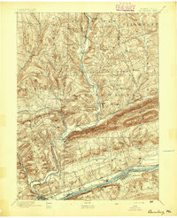
1947 Bloomsburg
Columbia County, PA
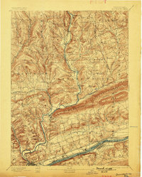
1953 Bloomsburg
Columbia County, PA
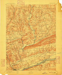
1954 Bloomsburg
Columbia County, PA
1999 Bloomsburg
Columbia County, PA
2010 Bloomsburg
Columbia County, PA
2013 Bloomsburg
Columbia County, PA
2016 Bloomsburg
Columbia County, PA
2019 Bloomsburg
Columbia County, PA
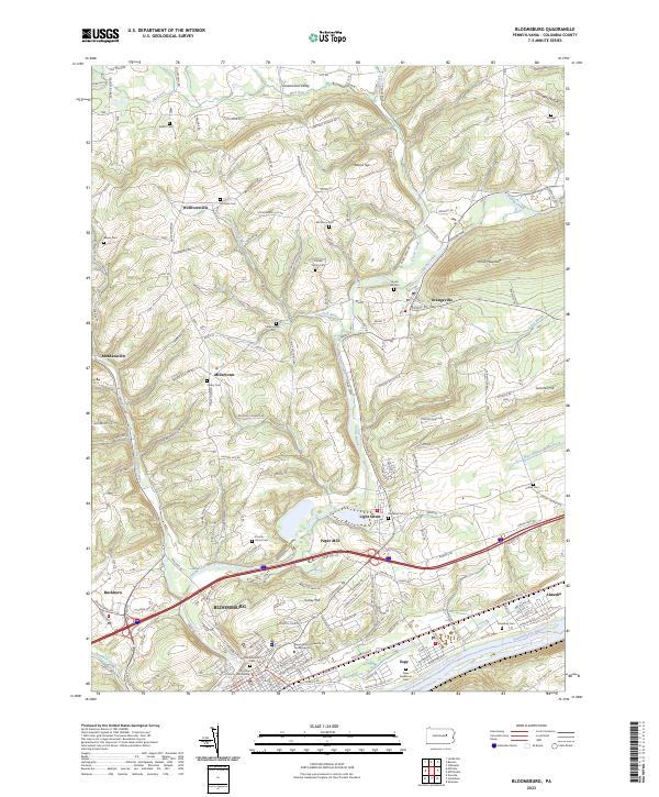
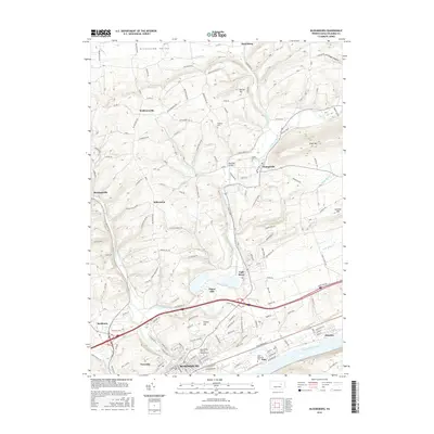
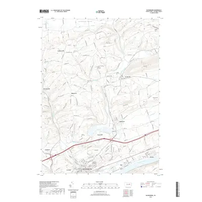
2023 Bloomsburg
Columbia County, PA