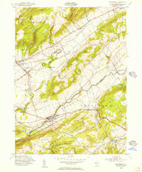
1955 Map of Bloomsbury
USGS Topo · Published 1956About this map
The Musconetcong River valley serves as a primary corridor for transportation and settlement in this mid-century survey of the Warren and Hunterdon county border. The landscape is defined by the parallel ridges of Scotts Mountain, Pohatcong Mountain, and Musconetcong Mountain, which channel the region's infrastructure. Major rail lines, including the Lehigh Valley RR and the Central RR of New Jersey, navigate the gaps alongside historical water routes like the Morris Canal.
Find a feature on this map
63 named features on this map. Tap any name to fly to it.
Don’t see what you’re looking for? This feature index may not catch every label — zoom into the map to look around manually.
Map Details
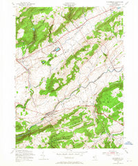
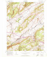
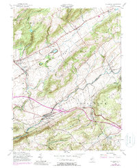
Editions of this 1955 Bloomsbury Map
4 editions found
Other maps of this area

1888 · Hackettstown
USGS Topo · 1:62,500

1890 · Easton
USGS Topo · 1:62,500

1890 · High Bridge
USGS Topo · 1:62,500

1891 · Easton
USGS Topo · 1:62,500

1891 · Delaware Water Gap
USGS Topo · 1:62,500

1893 · Delaware Water Gap
USGS Topo · 1:62,500

1894 · Hackettstown
USGS Topo · 1:62,500

1898 · Hackettstown
USGS Topo · 1:62,500

1898 · High Bridge
USGS Topo · 1:62,500

1900 · Raritan
USGS Topo · 1:125,000