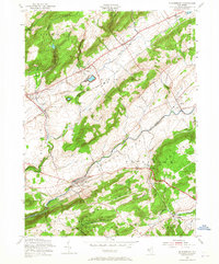
1955 Map of Bloomsbury
USGS Topo · Published 1965About this map
The Musconetcong River and Pohatcong Creek carve deep valleys through the ridge-and-valley landscape of this mid-century New Jersey borderland. The village of Bloomsbury serves as a central hub where the Central Railroad of New Jersey and the Lehigh Valley railroad lines converge near the Warren and Hunterdon county line. Local industrial history is written into the terrain with sites like the Reservoir Ingersoll Dam and numerous small settlements such as Broadway, New Village, and Asbury that were shaped by the proximity of water power and rail transit.
Find a feature on this map
52 named features on this map. Tap any name to fly to it.
Don’t see what you’re looking for? This feature index may not catch every label — zoom into the map to look around manually.
Map Details
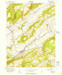
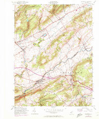
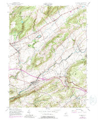
Editions of this 1955 Bloomsbury Map
4 editions found
Other maps of this area

1888 · Hackettstown
USGS Topo · 1:62,500

1890 · Easton
USGS Topo · 1:62,500

1890 · High Bridge
USGS Topo · 1:62,500

1891 · Easton
USGS Topo · 1:62,500

1891 · Delaware Water Gap
USGS Topo · 1:62,500

1893 · Delaware Water Gap
USGS Topo · 1:62,500

1894 · Hackettstown
USGS Topo · 1:62,500

1898 · Hackettstown
USGS Topo · 1:62,500

1898 · High Bridge
USGS Topo · 1:62,500

1900 · Raritan
USGS Topo · 1:125,000