
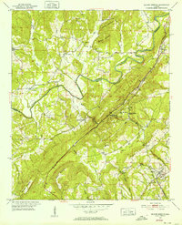
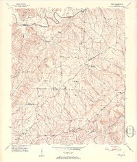
1951 Map of Blount Springs
USGS Topo · Published 1952About this map
Blount Springs and the surrounding river-carved terrain of Cullman and Blount Counties define this 1951 landscape. The Mulberry Fork winds through the northern half of the quadrangle, where the Louisville and Nashville railroad tracks follow the river's path through Bangor before striking south through the Blount Tunnel. This corridor was essential for mid-century transportation, linking rural communities like Spring Yard Hill and Hayden to the broader regional economy.
Find a feature on this map
46 named features on this map. Tap any name to fly to it.
Don’t see what you’re looking for? This feature index may not catch every label — zoom into the map to look around manually.
Map Details
Editions of this 1951 Blount Springs Map
5 editions found
Other maps of this area

1888 · Cullman
USGS Topo · 1:125,000

1889 · Birmingham
USGS Topo · 1:125,000

1892 · Cullman
USGS Topo · 1:125,000

1892 · Birmingham
USGS Topo · 1:125,000

1895 · Birmingham
USGS Topo · 1:125,000

1907 · Birmingham
USGS Topo · 1:125,000

1951 · Arkadelphia
USGS Topo · 1:24,000

1951 · Warrior
USGS Topo · 1:24,000
1951 · Creel
USGS Topo · 1:24,000

1953 · Birmingham
USGS Topo · 1:250,000