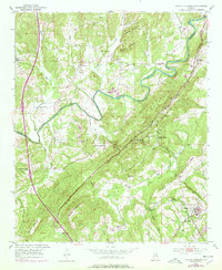
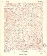
1951 Map of Blount Springs
USGS Topo · Published 1978About this map
The Mulberry Fork of the Black Warrior River carves a deep path through the borderlands of Cullman and Blount Counties, defining the drainage patterns for this section of the Cumberland Plateau. This 1951 survey, with 1970s updates, documents a landscape where the Louisville And Nashville railroad dictated the placement of commerce and community. The infrastructure of the rail line is particularly evident through the presence of the Blount Tunnel and the Blount Springs Station, supporting the transportation of resources near the mineral-rich waters of Sulphur Spring.
Find a feature on this map
49 named features on this map. Tap any name to fly to it.
Don’t see what you’re looking for? This feature index may not catch every label — zoom into the map to look around manually.
Map Details
Editions of this 1951 Blount Springs Map
5 editions found
Other maps of this area

1888 · Cullman
USGS Topo · 1:125,000

1889 · Birmingham
USGS Topo · 1:125,000

1892 · Cullman
USGS Topo · 1:125,000

1892 · Birmingham
USGS Topo · 1:125,000

1895 · Birmingham
USGS Topo · 1:125,000

1907 · Birmingham
USGS Topo · 1:125,000

1951 · Arkadelphia
USGS Topo · 1:24,000

1951 · Warrior
USGS Topo · 1:24,000
1951 · Creel
USGS Topo · 1:24,000

1951 · Blount Springs
USGS Topo · 1:24,000