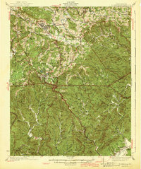
1942 Map of Blowing Rock
USGS Topo · Published 1942About this map
Boone and the high country of the Blue Ridge mountains are meticulously documented in this early 1940s survey, showing the region just as the Blue Ridge Parkway was being established across the landscape. The map centers on the resort town of Blowing Rock, illustrating the complex network of mountain roads and gaps that connected it to outlying communities like Shulls Mills and Perkinsville. Significant portions of the Pisgah National Forest are visible to the south, where the terrain drops sharply toward the Johns River and Globe.
Find a feature on this map
100 named features on this map. Tap any name to fly to it.
Don’t see what you’re looking for? This feature index may not catch every label — zoom into the map to look around manually.
Map Details
Editions of this 1942 Blowing Rock Map
4 editions found

Other maps of this area

1889 · Wilkesboro
USGS Topo · 1:125,000

1891 · Wilkesboro
USGS Topo · 1:125,000

1893 · Cranberry
USGS Topo · 1:125,000

1895 · Hickory
USGS Topo · 1:125,000

1895 · Cranberry
USGS Topo · 1:125,000

1899 · Cranberry
USGS Topo · 1:125,000

1902 · Cranberry
USGS Topo · 1:125,000

1905 · Morganton
USGS Topo · 1:125,000

1934 · Valle Crucis
USGS Topo · 1:24,000

1934 · Boone
USGS Topo · 1:24,000