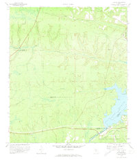
1972 Map of Bloxham
USGS Topo · Published 1973About this map
Lake Talquin dominates the southeastern quadrant of this region, where the Ochlockonee River is harnessed for power and recreation at Jackson Bluff. The landscape is a network of shifting elevations and dense drainage patterns, featuring names like Hammock Bluff and the winding Ocklawaha Creek. This early 1970s survey captures the rural character of northern Florida, where community life centered on small landmarks such as Antioch Ch and the Friendship Cem. Within the Apalachicola National Forest, infrastructure for fire monitoring is visible at the Hosford Lookout Tower. The map also details the transition from woodland to water, noting shoreline features like Hopkins Landing and Whippoorwill Marina, which serve the local fishing and boating economy on the reservoir.
Find a feature on this map
26 named features on this map. Tap any name to fly to it.
Don’t see what you’re looking for? This feature index may not catch every label — zoom into the map to look around manually.
Map Details
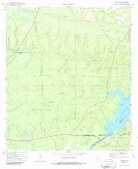
Editions of this 1972 Bloxham Map
2 editions found
Other maps of this area

1943 · Lake Talquin
USGS Topo · 1:62,500

1945 · Hosford
USGS Topo · 1:31,680

1945 · Telogia
USGS Topo · 1:24,000

1946 · Telogia
USGS Topo · 1:31,680

1954 · Tallahassee
USGS Topo · 1:250,000

1955 · Sycamore
USGS Topo · 1:24,000

1959 · Tallahassee
USGS Topo · 1:250,000

1959 · Gretna
USGS Topo · 1:24,000

1959 · Quincy
USGS Topo · 1:24,000

1960 · Tallahassee
USGS Topo · 1:250,000