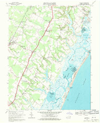
1968 Map of Bloxom
USGS Topo · Published 1971About this map
Bloxom and its neighboring villages sit at the heart of this coastal Virginia survey, which illustrates the transition from the farm-and-rail corridor to the intricate wetlands of the Atlantic shore. The Penn Central railroad serves as the primary inland artery, connecting Hallwood, Mears Station, and Rue through a landscape dotted with country congregations like Bethel Ch and Metomkin Ch. The eastern half of the map is dominated by the tidal complexities of Gargathy Bay and Assawoman Bay, protected by Metomkin Island. A significant modern footprint is visible on Wallops Island, where the National Aeronautics and Space Administration facilities represent the emerging aerospace presence in this rural county. From the North Accomack Sch to the Public Boat Landing, the map records a community deeply tied to both its agrarian roots and the sea.
Find a feature on this map
84 named features on this map. Tap any name to fly to it.
Don’t see what you’re looking for? This feature index may not catch every label — zoom into the map to look around manually.
Map Details
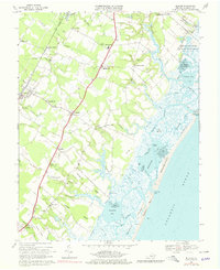
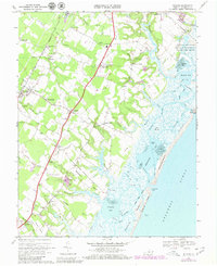
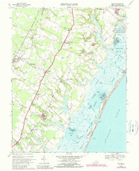
Editions of this 1968 Bloxom Map
4 editions found
Other maps of this area

1931 · Accomac
USGS Topo · 1:48,000

1935 · Accomac
USGS Topo · 1:62,500

1942 · Mappsville
USGS Topo · 1:24,000

1942 · Wallops Island
USGS Topo · 1:24,000

1942 · Saxis
USGS Topo · 1:24,000

1942 · Parksley
USGS Topo · 1:24,000

1943 · Parksley
USGS Topo · 1:31,680

1943 · Saxis
USGS Topo · 1:31,680

1943 · Mappsville
USGS Topo · 1:31,680

1943 · Chincoteague West
USGS Topo · 1:31,680