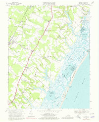
1968 Map of Bloxom
USGS Topo · Published 1979About this map
Penn Central rail lines and US Highway 13 parallel one another through the heart of Accomack County, anchoring a series of small agricultural and rail-stop communities. This coastal landscape is defined by its intricate network of necks and marshes, such as Whites Neck and Gargathy Neck, which reach toward the barrier islands of Metomkin Island and Ass Woman Island. Inland, the map documents numerous small settlements including Bloxom, Modest Town, and Guilford, interspersed with local landmarks like Bethel Ch and the North Accomack Sch. The eastern edge reveals a complex aquatic environment of bays and inlets, including Kegotank Bay and Gargathy Inlet, while the presence of a Radio Tower and NASA Wallops Island facilities reflects the intersection of traditional Delmarva life with mid-century technological expansion.
Find a feature on this map
70 named features on this map. Tap any name to fly to it.
Don’t see what you’re looking for? This feature index may not catch every label — zoom into the map to look around manually.
Map Details
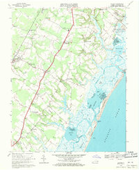
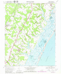
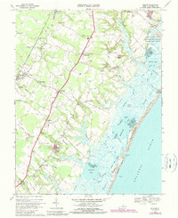
Editions of this 1968 Bloxom Map
4 editions found
Other maps of this area

1931 · Accomac
USGS Topo · 1:48,000

1935 · Accomac
USGS Topo · 1:62,500

1942 · Mappsville
USGS Topo · 1:24,000

1942 · Wallops Island
USGS Topo · 1:24,000

1942 · Saxis
USGS Topo · 1:24,000

1942 · Parksley
USGS Topo · 1:24,000

1943 · Parksley
USGS Topo · 1:31,680

1943 · Saxis
USGS Topo · 1:31,680

1943 · Mappsville
USGS Topo · 1:31,680

1943 · Chincoteague West
USGS Topo · 1:31,680