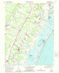
1968 Map of Bloxom
USGS Topo · Published 1990About this map
The Maryland and Virginia RR cuts a straight line through this section of the Eastern Shore, linking established agricultural and rail stops like Bloxom, Mappsville, and Mears Station. The interior landscape is defined by small, family-linked settlements and institutions such as Bethel Ch, Wessels Cem, and the North Accomack Sch. To the east, the geography shifts dramatically into the intricate marshlands and tidal channels of Kegotank Bay and Assawoman Bay, separated from the Atlantic Ocean by the long barrier of Wallops Island. This 1968 survey, with later revisions, shows the proximity of rural communities like Modest Town and Gargatha to the coastal operations at the Wallops Flight Center. The presence of a Strip Mine near Mutton Hunk and a Public Boat Landing on the Cutoff Cr illustrates the varied ways the land was utilized between the rail corridor and the sea.
Find a feature on this map
67 named features on this map. Tap any name to fly to it.
Don’t see what you’re looking for? This feature index may not catch every label — zoom into the map to look around manually.
Map Details
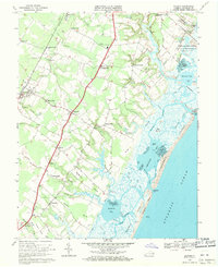
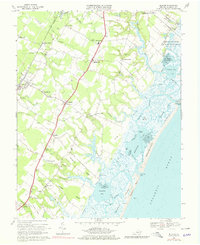
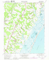
Editions of this 1968 Bloxom Map
4 editions found
Other maps of this area

1931 · Accomac
USGS Topo · 1:48,000

1935 · Accomac
USGS Topo · 1:62,500

1942 · Mappsville
USGS Topo · 1:24,000

1942 · Wallops Island
USGS Topo · 1:24,000

1942 · Saxis
USGS Topo · 1:24,000

1942 · Parksley
USGS Topo · 1:24,000

1943 · Parksley
USGS Topo · 1:31,680

1943 · Saxis
USGS Topo · 1:31,680

1943 · Mappsville
USGS Topo · 1:31,680

1943 · Chincoteague West
USGS Topo · 1:31,680