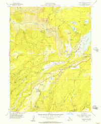
1955 Map of Blue Canyon
USGS Topo · Published 1957About this map
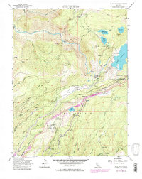
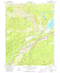
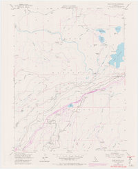
Southern Pacific tracks wind through the high Sierra Nevada terrain, tracing a vital transportation corridor through Emigrant Gap and Blue Canyon. This mid-century survey illustrates the complex water management and mining infrastructure of the Tahoe National Forest, featuring an intricate system of the South Yuba Canal, various flumes, and the Drum powerhouse system. The landscape is marked by the legacy of the gold rush, with several sites noted as inactive, such as the Gold Bug Mine and Eagle Bird Mine.
Find a feature on this map
77 named features on this map. Tap any name to fly to it.
Don’t see what you’re looking for? This feature index may not catch every label — zoom into the map to look around manually.
Map Details
Editions of this 1955 Blue Canyon Map
7 editions found
Other maps of this area

1891 · Colfax
USGS Topo · 1:125,000

1892 · Colfax
USGS Topo · 1:125,000

1894 · Colfax
USGS Topo · 1:125,000

1898 · Colfax
USGS Topo · 1:125,000

1900 · Colfax
USGS Topo · 1:125,000

1902 · Colfax
USGS Topo · 1:125,000

1938 · Colfax
USGS Topo · 1:125,000
1949 · Alleghany
USGS Topo · 1:24,000
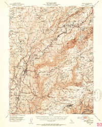
1950 · Colfax
USGS Topo · 1:62,500
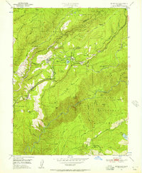
1950 · Dutch Flat
USGS Topo · 1:24,000