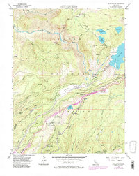
1955 Map of Blue Canyon
USGS Topo · Published 1980About this map
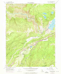
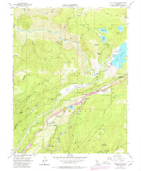
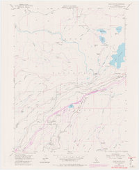
Gold mining history and the evolution of Sierra Nevada infrastructure meet at Emigrant Gap, a critical mountain passage where the Southern Pacific railroad and the Pacific Highway snake through the Tahoe National Forest. The landscape is a complex network of mid-century water management, featuring the Drum Canal, Canal systems, and massive engineering works like the Lake Spaulding reservoir and the Rim Powerhouse.
Find a feature on this map
71 named features on this map. Tap any name to fly to it.
Don’t see what you’re looking for? This feature index may not catch every label — zoom into the map to look around manually.
Map Details
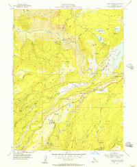
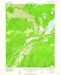
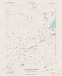
Editions of this 1955 Blue Canyon Map
7 editions found
Other maps of this area

1891 · Colfax
USGS Topo · 1:125,000

1892 · Colfax
USGS Topo · 1:125,000

1894 · Colfax
USGS Topo · 1:125,000

1898 · Colfax
USGS Topo · 1:125,000

1900 · Colfax
USGS Topo · 1:125,000

1902 · Colfax
USGS Topo · 1:125,000

1938 · Colfax
USGS Topo · 1:125,000
1949 · Alleghany
USGS Topo · 1:24,000
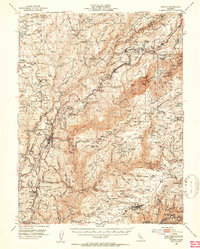
1950 · Colfax
USGS Topo · 1:62,500
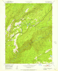
1950 · Dutch Flat
USGS Topo · 1:24,000