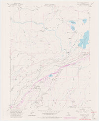
1955 Map of Blue Canyon
USGS Topo · Published 1980About this map
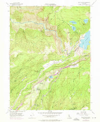
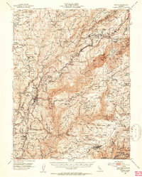
The Southern Pacific railroad corridor serves as the industrial spine of this Sierra Nevada landscape, threading through the high-elevation settlements of Blue Canyon and Emigrant Gap. This mid-century survey, with late-1970s updates, captures a complex network of water management and resource extraction. The northern reach is dominated by Lake Spaulding and its associated infrastructure, including the Rim Powerhouse, Fuller Lake, and Rucker Lake. Evidence of earlier mining activity is preserved in the location of the Eagle Bird Mine (Aban'd) and Gold Bug Mine (Aban'd), reflecting the region's hard-rock legacy. This era also highlights the transition to modern infrastructure, seen in the Blue Canyon Weather Station, Airway Beacon, and a dedicated Landing Field, illustrating the area's importance for transcontinental transportation and meteorology.
Find a feature on this map
61 named features on this map. Tap any name to fly to it.
Don’t see what you’re looking for? This feature index may not catch every label — zoom into the map to look around manually.
Map Details
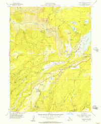
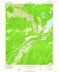
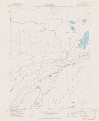
Editions of this 1955 Blue Canyon Map
7 editions found
Other maps of this area

1891 · Colfax
USGS Topo · 1:125,000

1892 · Colfax
USGS Topo · 1:125,000

1894 · Colfax
USGS Topo · 1:125,000

1898 · Colfax
USGS Topo · 1:125,000

1900 · Colfax
USGS Topo · 1:125,000

1902 · Colfax
USGS Topo · 1:125,000

1938 · Colfax
USGS Topo · 1:125,000
1949 · Alleghany
USGS Topo · 1:24,000
1950 · Colfax
USGS Topo · 1:62,500
1950 · Dutch Flat
USGS Topo · 1:24,000