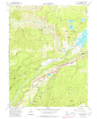
1955 Map of Blue Canyon
USGS Topo · Published 1980About this map
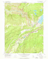
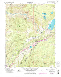
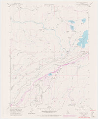
Mining operations and water infrastructure dominate this mid-century survey of the High Sierra's western slope. Gold mining history is etched into the landscape at the Arctic Mine, Mtn View Mine, and the now-silent Gold Bug Mine (Aband'd) near Eagle Bird Mine (Aband'd). The steep ridges and river canyons are carved by an intricate network of Canal and Flume systems, including the Drum and Boardman paths, which directed water through the rugged South Yuba River and Bear River drainages to support hydroelectric power and hydraulic mining remnants.
Find a feature on this map
84 named features on this map. Tap any name to fly to it.
Don’t see what you’re looking for? This feature index may not catch every label — zoom into the map to look around manually.
Map Details
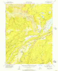
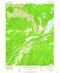
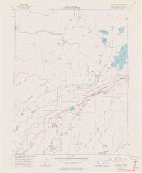
Editions of this 1955 Blue Canyon Map
7 editions found
Other maps of this area

1891 · Colfax
USGS Topo · 1:125,000

1892 · Colfax
USGS Topo · 1:125,000

1894 · Colfax
USGS Topo · 1:125,000

1898 · Colfax
USGS Topo · 1:125,000

1900 · Colfax
USGS Topo · 1:125,000

1902 · Colfax
USGS Topo · 1:125,000

1938 · Colfax
USGS Topo · 1:125,000
1949 · Alleghany
USGS Topo · 1:24,000
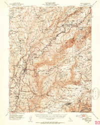
1950 · Colfax
USGS Topo · 1:62,500
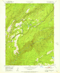
1950 · Dutch Flat
USGS Topo · 1:24,000