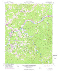
1957 Map of Blue Creek
USGS Topo · Published 1978About this map
The Elk River serves as the industrial and logistical spine of this region, winding through a landscape defined by extractive energy and narrow valley settlements. By the mid-20th century, the area around Elkview and Blue Creek had become a dense network of petroleum infrastructure, with hundreds of Oil Wells peppered across the ridgelines and a prominent Oil Refinery situated near Falling Rock. Transportation follows the water, with the Baltimore and Ohio and Conrail rail lines hugging the riverbanks to serve the local industry.
Find a feature on this map
66 named features on this map. Tap any name to fly to it.
Don’t see what you’re looking for? This feature index may not catch every label — zoom into the map to look around manually.
Map Details
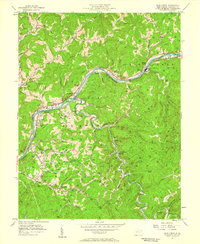
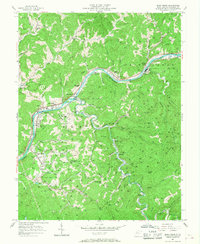
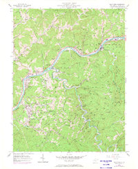
Editions of this 1957 Blue Creek Map
4 editions found
Other maps of this area

1897 · Kanawha Falls
USGS Topo · 1:125,000

1899 · Charleston
USGS Topo · 1:125,000

1900 · Kanawha Falls
USGS Topo · 1:125,000

1901 · Kanawha Falls
USGS Topo · 1:125,000

1906 · Kenna
USGS Topo · 1:62,500

1906 · Walton
USGS Topo · 1:62,500

1907 · Kenna
USGS Topo · 1:62,500

1907 · Walton
USGS Topo · 1:62,500

1907 · Clendenin
USGS Topo · 1:62,500

1909 · Charleston
USGS Topo · 1:62,500