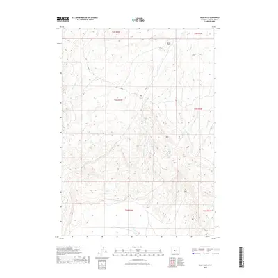
2017 Map of Blue Gulch
USGS Topo · Published 2017About this map
Rock Creek Mtn and the high escarpment of Beaver Rim dominate this high-desert landscape in Fremont County. The terrain is defined by a series of complex drainage systems and topographic landmarks, including the namesake Blue Gulch and the elevated Blue Ridge. Human presence is sparse, marked primarily by Coen Rd and the vital locations of water sources such as Cogswell Spring, Moone Spring, and Keg Spring. These springs and draws, such as Boiler Draw and Walker Draw, provided essential orientation and resources in an arid environment. The map details the intricate hydrography of Conant Cr, Rock Cr, and Moone Cr as they weave through the shifting elevations of the eastern Wind River Basin vicinity.
Find a feature on this map
21 named features on this map. Tap any name to fly to it.
Don’t see what you’re looking for? This feature index may not catch every label — zoom into the map to look around manually.
Map Details
Editions of this 2017 Blue Gulch Map
This is the sole edition of this map. No revisions or reprints were ever made.
Other maps of this area

1952 · Tin Cup Mountain
USGS Topo · 1:24,000

1952 · Double Butte
USGS Topo · 1:24,000

1952 · Rongis Reservoir
USGS Topo · 1:24,000

1953 · Blue Gulch
USGS Topo · 1:24,000

1953 · Elkhorn Springs
USGS Topo · 1:24,000

1953 · Campbell Ridge
USGS Topo · 1:24,000

1953 · Sand Draw
USGS Topo · 1:24,000

1953 · Dishpan Butte
USGS Topo · 1:24,000

1955 · Lander
USGS Topo · 1:250,000

1955 · Casper
USGS Topo · 1:250,000