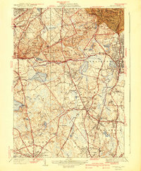
1941 Map of Blue Hills
USGS Topo · Published 1941About this map
Blue Hills Reservation dominates this landscape south of Boston, anchored by the prominent Great Blue Hill and the Blue Hill Observatory. The map reveals a transition between the rocky heights of Chickatawbut Hill and the developing residential and institutional corridors of Braintree, Randolph, and Stoughton. Notable social infrastructure includes the Boston Sch for the Deaf, the Town Farm, and a CCC Camp reflecting Great Depression-era public works. The New Haven RR line cuts through the southern terrain, connecting industrial points like Stoughton Mills with the broader region. Numerous cemeteries, such as Holy Sepulchre Cem and Blue Hills Cem, are meticulously plotted alongside local landmarks like Thayer Academy, providing essential detail for those tracing the family and institutional history of these Norfolk County communities during the early 1940s.
Find a feature on this map
129 named features on this map. Tap any name to fly to it.
Don’t see what you’re looking for? This feature index may not catch every label — zoom into the map to look around manually.
Map Details
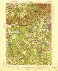
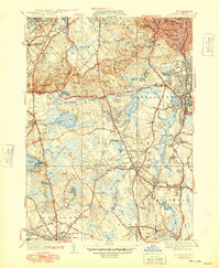
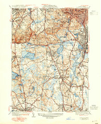
Editions of this 1941 Blue Hills Map
4 editions found
Other maps of this area

1885 · Abington
USGS Topo · 1:62,500

1886 · Dedham
USGS Topo · 1:62,500

1888 · Abington
USGS Topo · 1:62,500

1892 · Boston Bay
USGS Topo · 1:62,500

1893 · Abington
USGS Topo · 1:62,500

1893 · Boston
USGS Topo · 1:62,500

1894 · Dedham
USGS Topo · 1:62,500

1903 · Boston
USGS Topo · 1:62,500

1903 · Boston Bay
USGS Topo · 1:62,500

1919 · Dedham
USGS Topo · 1:62,500