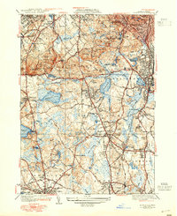
1941 Map of Blue Hills
USGS Topo · Published 1948About this map
The Blue Hills reservation dominates this mid-century landscape, characterized by a complex network of summits including Great Blue Hill and the Nahanton Hill. Standing as a prominent scientific landmark is the Blue Hill Observatory, surrounded by an extensive trail system featuring the Skyline Trail and the Hemlock Bound Trail. The region’s institutional history is well-represented by the Thayer Academy in Braintree and the Boston Sch for the Deaf in Randolph.
Find a feature on this map
121 named features on this map. Tap any name to fly to it.
Don’t see what you’re looking for? This feature index may not catch every label — zoom into the map to look around manually.
Map Details
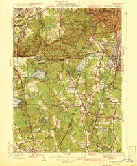
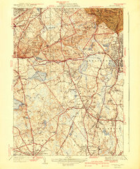
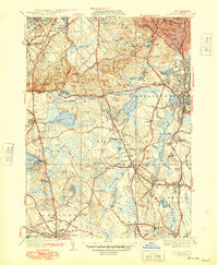
Editions of this 1941 Blue Hills Map
4 editions found
Other maps of this area

1885 · Abington
USGS Topo · 1:62,500

1886 · Dedham
USGS Topo · 1:62,500

1888 · Abington
USGS Topo · 1:62,500

1892 · Boston Bay
USGS Topo · 1:62,500

1893 · Abington
USGS Topo · 1:62,500

1893 · Boston
USGS Topo · 1:62,500

1894 · Dedham
USGS Topo · 1:62,500

1903 · Boston
USGS Topo · 1:62,500

1903 · Boston Bay
USGS Topo · 1:62,500

1919 · Dedham
USGS Topo · 1:62,500