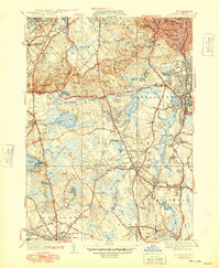
1941 Map of Blue Hills
USGS Topo · Published 1948About this map
The Blue Hills Reservation dominates this landscape south of Boston, anchored by the Great Blue Hill Obseratory and a dense cluster of topographical landmarks including Chickatawbut Hill and Hancock Hill. The map reveals a post-war transition in Norfolk County, where established towns like Milton, Randolph, and Stoughton are interconnected by a maturing road network and the New York New Haven and Hartford railroad.
Find a feature on this map
137 named features on this map. Tap any name to fly to it.
Don’t see what you’re looking for? This feature index may not catch every label — zoom into the map to look around manually.
Map Details
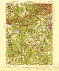
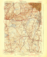
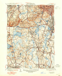
Editions of this 1941 Blue Hills Map
4 editions found
Other maps of this area

1885 · Abington
USGS Topo · 1:62,500

1886 · Dedham
USGS Topo · 1:62,500

1888 · Abington
USGS Topo · 1:62,500

1892 · Boston Bay
USGS Topo · 1:62,500

1893 · Abington
USGS Topo · 1:62,500

1893 · Boston
USGS Topo · 1:62,500

1894 · Dedham
USGS Topo · 1:62,500

1903 · Boston
USGS Topo · 1:62,500

1903 · Boston Bay
USGS Topo · 1:62,500

1919 · Dedham
USGS Topo · 1:62,500