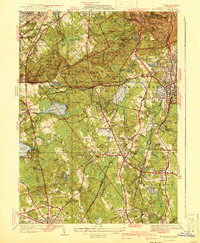
1941 Map of Blue Hills
USGS Topo · Published 1941About this map
The Blue Hills Reservation dominates this 1941 edition, showcasing a landscape defined by prominent peaks like Great Blue Hill and Chickatawbut Hill just before the region’s postwar suburban acceleration. The Blue Hill Meteorological Observatory sits atop the heights, overlooking a transition from the forested ridges of Milton to the industrial and residential clusters of Quincy and Braintree. This survey, compiled in part from aerial photography, captures the New Haven RR corridor as it connects established towns like Randolph and Holbrook.
Find a feature on this map
135 named features on this map. Tap any name to fly to it.
Don’t see what you’re looking for? This feature index may not catch every label — zoom into the map to look around manually.
Map Details
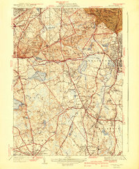
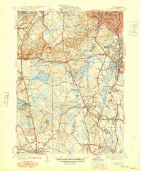
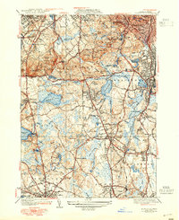
Editions of this 1941 Blue Hills Map
4 editions found
Other maps of this area

1885 · Abington
USGS Topo · 1:62,500

1886 · Dedham
USGS Topo · 1:62,500

1888 · Abington
USGS Topo · 1:62,500

1892 · Boston Bay
USGS Topo · 1:62,500

1893 · Abington
USGS Topo · 1:62,500

1893 · Boston
USGS Topo · 1:62,500

1894 · Dedham
USGS Topo · 1:62,500

1903 · Boston
USGS Topo · 1:62,500

1903 · Boston Bay
USGS Topo · 1:62,500

1919 · Dedham
USGS Topo · 1:62,500