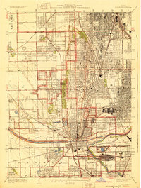
1929 Map of Blue Island
USGS Topo · Published 1929About this map
Blue Island serves as the industrial and transit nexus for this south Chicagoland landscape in the late 1920s. A dense concentration of railroads, including the Grand Trunk Western and Indiana Harbor Belt, converges near the intersection of the Little Calumet River and the Calumet Sag Channel. The map reveals a specialized land-use pattern where residential growth in settlements like Evergreen Park and Mount Greenwood is interspersed with sprawling cemeteries such as Mt Hope Cemetery, Oak Hill Cemetery, and St Maria Cemetery. Beyond the urban grid of West Pullman, the area transitions into recreational and rural spaces, evidenced by the Midlothian Country Club and smaller local institutions like the Hazel Green School. This survey, compiled in part from Air Corps aerial photography, captures the region just as the suburban grid began to firmly establish itself over the old prairie drainage of Stony Creek.
Find a feature on this map
57 named features on this map. Tap any name to fly to it.
Don’t see what you’re looking for? This feature index may not catch every label — zoom into the map to look around manually.
Map Details
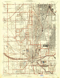
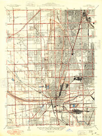
Editions of this 1929 Blue Island Map
3 editions found
Other maps of this area

1889 · Chicago
USGS Topo · 1:62,500

1890 · Des Plaines
USGS Topo · 1:62,500

1891 · Chicago
USGS Topo · 1:62,500

1891 · Riverside
USGS Topo · 1:62,500

1892 · Calumet
USGS Topo · 1:62,500

1893 · Calumet
USGS Topo · 1:62,500

1893 · Riverside
USGS Topo · 1:62,500

1894 · Des Plaines
USGS Topo · 1:62,500

1900 · Chicago
USGS Topo · 1:62,500

1900 · Des Plaines
USGS Topo · 1:62,500