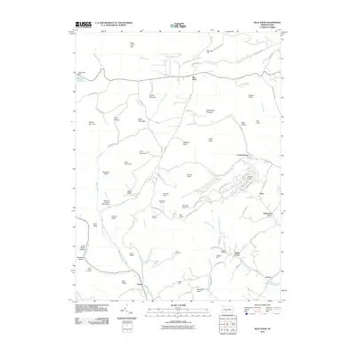
2010 Map of Blue Knob
USGS Topo · Published 2010About this map
Blue Knob dominates this highland landscape, standing as a prominent peak within the surrounding Blue Knob State Park. The terrain is characterized by a complex network of ridges and runs, including Hog Back Ridge, Wolf Hollow, and Bobs Creek. Settlement is concentrated in small communities like Pavia, Fredericksburg, and Klahr, which are connected by winding mountain roads such as Blue Knob State Park Road and State Forest Highway.
Find a feature on this map
100 named features on this map. Tap any name to fly to it.
Don’t see what you’re looking for? This feature index may not catch every label — zoom into the map to look around manually.
Map Details
Editions of this 2010 Blue Knob Map
This is the sole edition of this map. No revisions or reprints were ever made.
Other maps of this area

1900 · Everett
USGS Topo · 1:62,500

1902 · Everett
USGS Topo · 1:62,500

1902 · Ebensburg
USGS Topo · 1:62,500

1902 · Hollidaysburg
USGS Topo · 1:62,500

1903 · Hollidaysburg
USGS Topo · 1:62,500

1904 · Ebensburg
USGS Topo · 1:62,500

1908 · Bedford
USGS Topo · 1:62,500

1910 · Bedford
USGS Topo · 1:62,500

1953 · Pittsburgh
USGS Topo · 1:250,000

1954 · Pittsburgh
USGS Topo · 1:250,000
Featured Places
- Pavia Township, PA
- Washington Township, PA
- Blue Knob, Juniata Township
- Juniata Township, PA
- Summerhill Township, PA