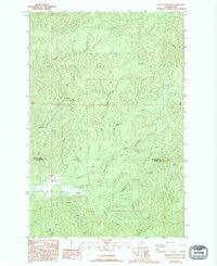
1986 Map of Blue Mountain
USGS Topo · Published 1994About this map
Blue Mountain dominates this coastal range landscape along the border of Grays Harbor and Pacific counties. The area is defined by a dense network of watercourses feeding into the North River, including Rock Creek, Archer Creek, and Raimie Creek. This 1980s-era survey reveals a terrain primarily managed for timber and resource extraction, evidenced by the extensive network of 4wd tracks and a Borrow Pit located near the mountain's summit. Settlement is sparse in this heavily forested region, with a lone cemetery near the river indicating the presence of earlier homesteads or small communities that utilized the valley for transit and trade. The complex drainage pattern, with features like the Left Fork and Right Fork, suggests a landscape shaped by significant rainfall and steep relief, characteristic of the Pacific Northwest's interior timberlands.
Find a feature on this map
22 named features on this map. Tap any name to fly to it.
Don’t see what you’re looking for? This feature index may not catch every label — zoom into the map to look around manually.
Map Details
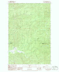
Editions of this 1986 Blue Mountain Map
2 editions found
Other maps of this area

1940 · Montesano
USGS Topo · 1:62,500

1941 · Walville
USGS Topo · 1:62,500

1941 · Ford
USGS Topo · 1:62,500

1953 · Hoquiam
USGS Topo · 1:250,000

1953 · Pe Ell
USGS Topo · 1:62,500

1953 · Malone
USGS Topo · 1:62,500

1955 · Montesano
USGS Topo · 1:62,500

1955 · Raymond
USGS Topo · 1:62,500

1957 · Hoquiam
USGS Topo · 1:250,000

1958 · Hoquiam
USGS Topo · 1:250,000