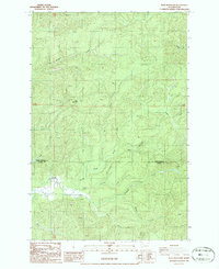
1986 Map of Blue Mountain
USGS Topo · Published 1986About this map
Blue Mountain stands as a central topographical landmark in this timber-rich region where the border of Grays Harbor Co and Pacific Co divides the landscape. The river system is the primary defining characteristic of the area, with the North River winding through the southern section, fed by a dense network of tributaries including Redfield Creek, Howard Creek, and Raimie Creek.
Find a feature on this map
23 named features on this map. Tap any name to fly to it.
Don’t see what you’re looking for? This feature index may not catch every label — zoom into the map to look around manually.
Map Details
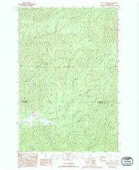
Editions of this 1986 Blue Mountain Map
2 editions found
Other maps of this area

1940 · Montesano
USGS Topo · 1:62,500

1941 · Walville
USGS Topo · 1:62,500

1941 · Ford
USGS Topo · 1:62,500

1953 · Hoquiam
USGS Topo · 1:250,000

1953 · Pe Ell
USGS Topo · 1:62,500

1953 · Malone
USGS Topo · 1:62,500

1955 · Montesano
USGS Topo · 1:62,500

1955 · Raymond
USGS Topo · 1:62,500

1957 · Hoquiam
USGS Topo · 1:250,000

1958 · Hoquiam
USGS Topo · 1:250,000